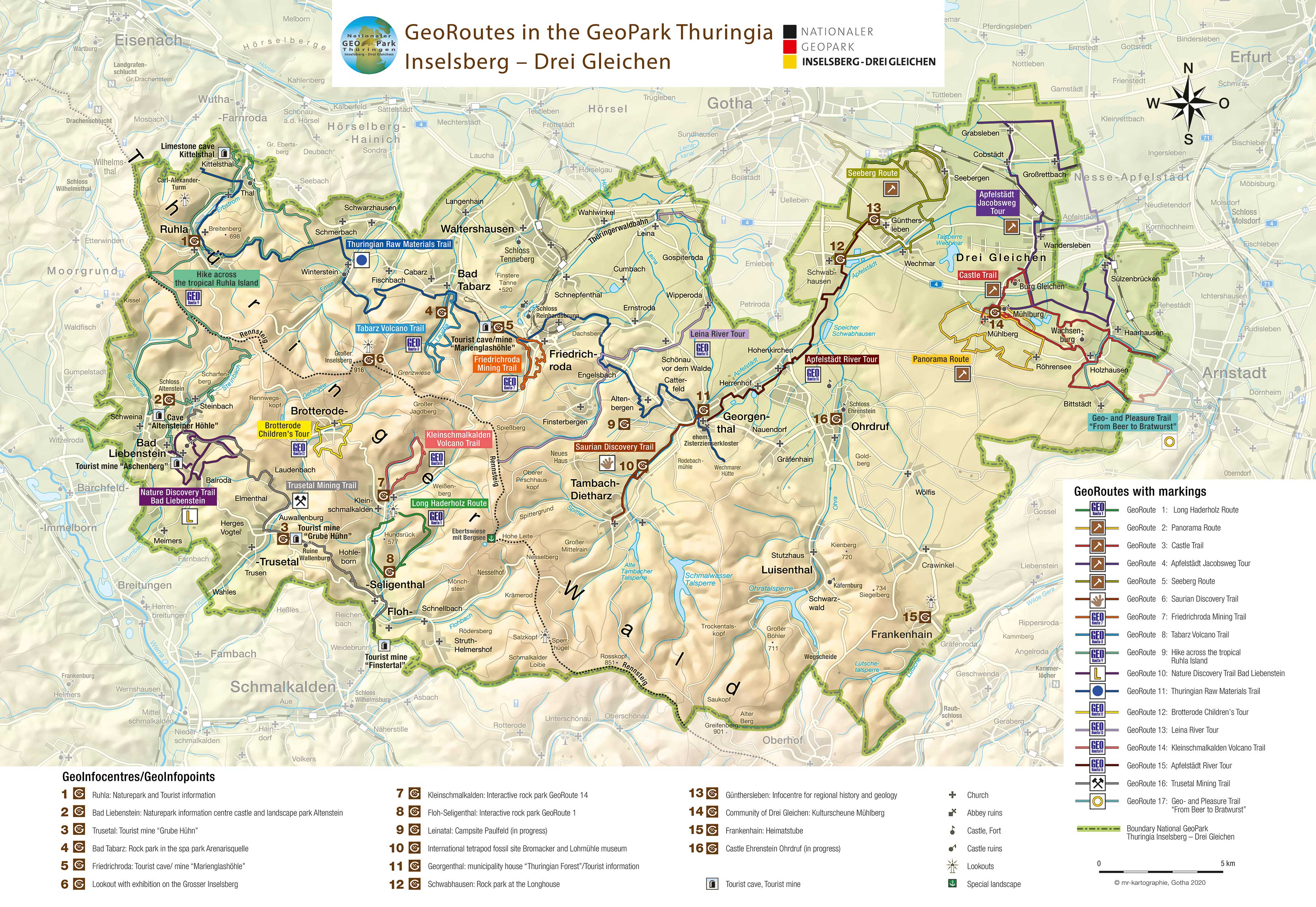


Apfelstädt River Tour (Cycle Route)
GeoRoute 15
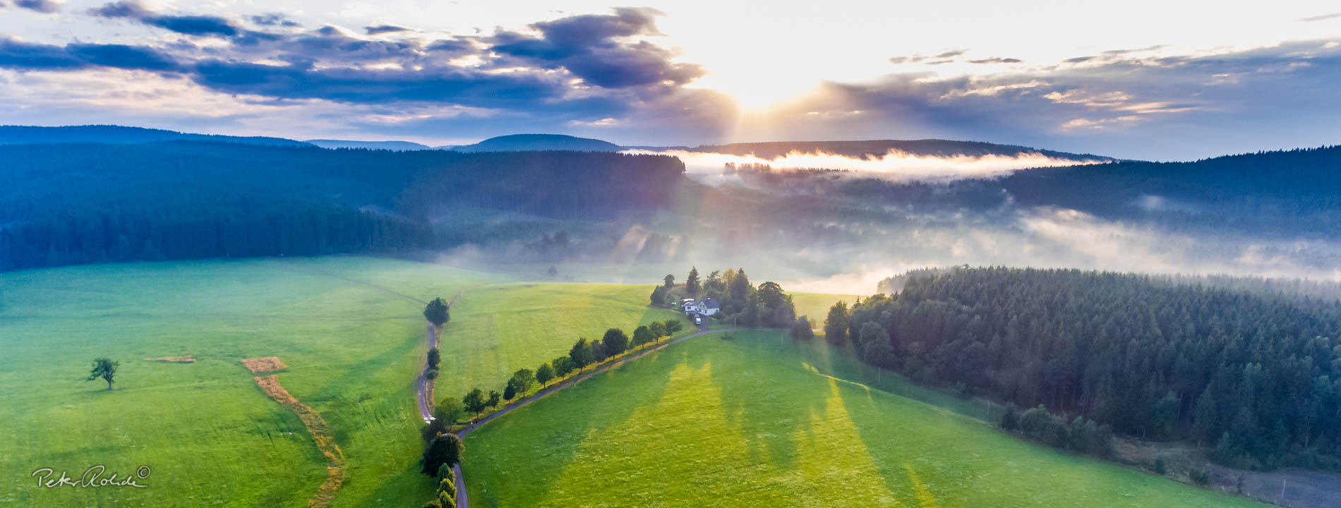
Following the rivers on bike and foot
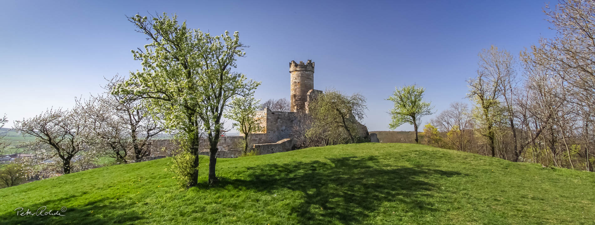
This GeoRoute starts in the town centre of Georgenthal (former Cistercian Abbey grounds with spa park) to the “Wasserburg“ (GeoInfopoint) in Günthersleben. This means from the Thuringian Forest to the Thuringian Castle Country Drei Gleichen. At the same time the route connects both regions of the Geopark. The route follows the Apfelstädt Cycle Path, which joins the Bach Bicycle Discovery Route just after Hohenkirchen and crosses the long-distance cycle route Thüringer Städtekette at the endpoint in Günthersleben.
The topic highlighted along this route is the diverse ways Humans use rivers in the past and today. These include raw material and energy production among many others. The pupils from the Gustav-Freytag-Gymnasium (grammar school) in Gotha took on the subject and created the information panels for the route as part of a seminar paper.
Although the motto of the Apfelstädt River Route is “For pupils by pupils”, the tour is equally interesting and enjoyable for more mature students.
- Distance / Category: approx. 15 km, linear route
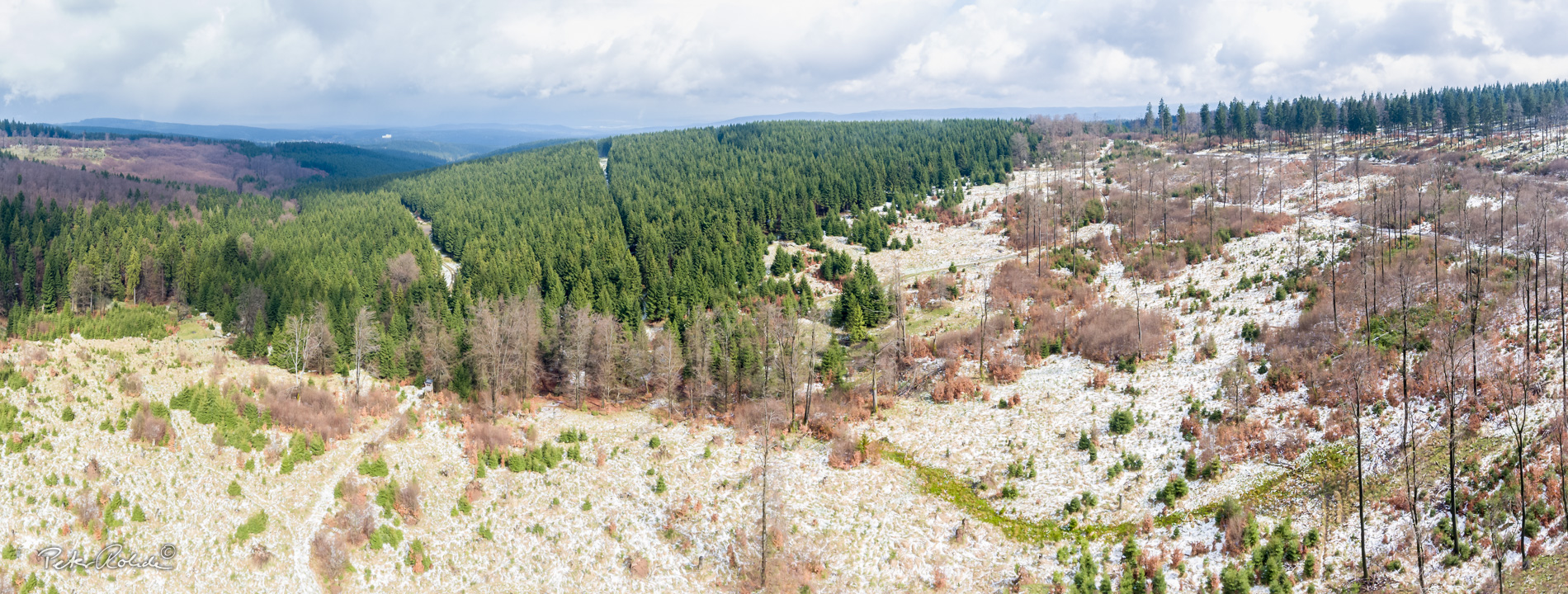
- Elevation: approx. 300 – 400 m above sea-level
- Difficulty: easy – moderate
- Trail characteristics: mostly tarmac roads, sandy gravel road in places
- Villages along the route: Georgenthal, Herrenhof, Hohenkirchen, Schwabhausen, Günthersleben
- Information: Tourist Information and GeoInfopoint Georgenthal, GeoInfopoint “Wasserburg“ Günthersleben, Tourist Information and GeoInfocentre “Kulturscheune“ Mühlberg
Text: Bettina Aschenbrenner (PhD), Tourismusverband Thüringer Wald Gothaer Land e.V.