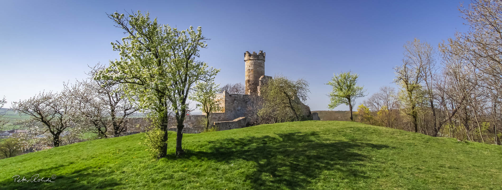
The Plattenbruch Quarry at the Gottlob in Friedrichroda
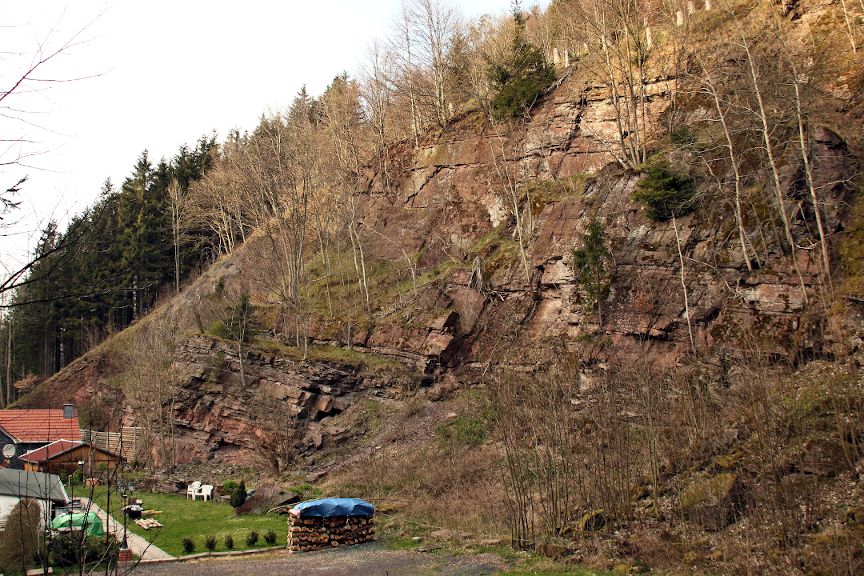
The Plattenbruch quarry at Gottlob near Friedrichroda was operated from 1885 to 1940. The quarry produced flat sandstone ("Flurplatten"), which was used in foundations, dry stone walls or as paving slabs. The quarry face of the disused quarry has been a geological natural monument since 1968.
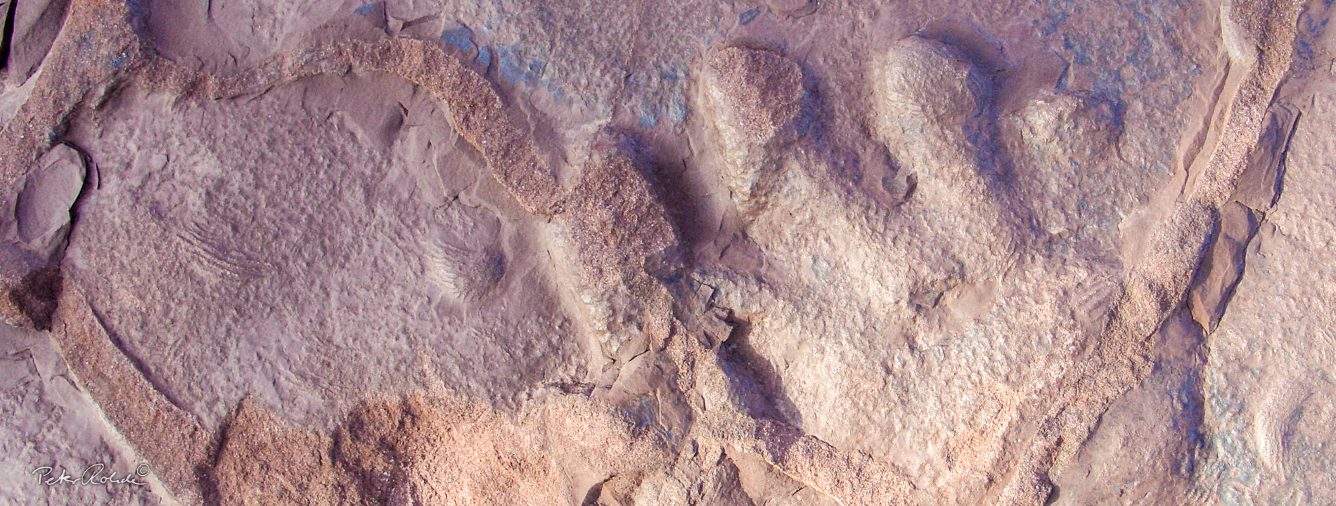
The 25 metre high outcrop wall opens up a profile of the Upper Goldlauter Formation, which dips at an angle of around 10° to the south-east. These layers are around 290 million years old. In the lower section of the profile, a 10 m thick sequence of red sandstones and siltstones is exposed, in which grey mudstones are intercalated. Of particular significance is a 2 m thick horizon, which is 10 to 6 m above the floor and is predominantly formed as black, finely layered claystone (black shale). It is the fossilised sludge of a former lake bed. This layer is exceptionally rich in fossils. The vast majority of fossil finds come from the clayey Gottlob horizon. Around 10,000 amphibians and fish were recovered here. Such mass deposits in black horizons indicate mass extinctions due to a lack of acid or the rise of toxic foul gases from the soil layer.
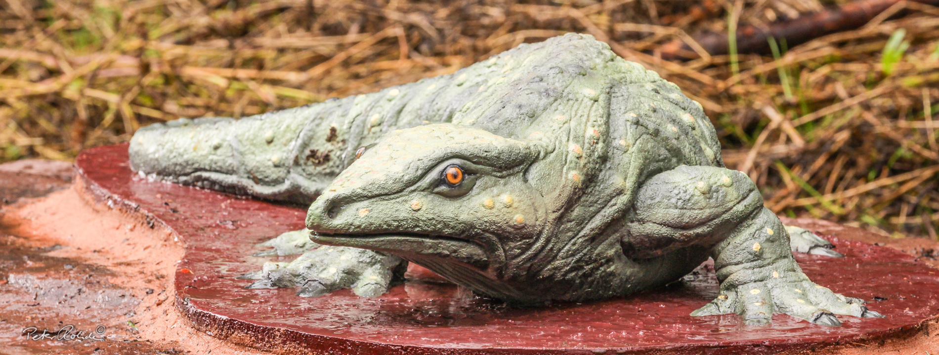
In 1847, when the quarry did not yet exist, the eminent geologist Prof. BERNHARD VON COTTA found the first saurian tracks of the Rotliegend in Germany in the sandstone beds. The track fossil was later named Ichniotherium cottae. The creator of these tracks, the 1 metre-long prehistoric saurian Diadectes, is known today from the site on the Bromacker between Georgenthal and Tambach-Dietharz. The lake deposits contain large numbers of branchiosaurs. It is remarkable that the three species of these newt-like amphibians found here are also known from a comparably old deposit in Sardinia (WERNEBURG, RONCHI & SCHNEIDER 2007). The approximately 70 cm large, crocodile-like amphibian Onchiodon labyrinthicus is only documented by a fragmentary skeletal find. The fish fauna is dominated by smelt sculpins. These fish with their striking scales are represented by several species. These include peaceful and predatory fish. Xenacanthids (single-spine sharks) are rare. These freshwater sharks could grow up to one metre long and were at the top of the food chain in Lake Gottlob.
A diorama with reconstructions of the living world of the former Lake Gottlob can be seen in the Friedrichroda GeoInfocentre at the Marienglashöhle.
Above the black shale, the Gottlob conglomerate, which is over 100 metres thick, follows with a sharp boundary. These coarse clastic sediments with boulders up to 50 cm in diameter are deposits of alluvial fans close to the mountains. Over 90 % of the boulders are volcanic rocks of the Georgenthal and Ilmenau formations. They bear witness to the tectonic uplift of the Ohrdruf Sill to the north-east of today's Thuringian Forest.
Five metres below the fossil-rich black shale ("Gottlob horizon"), a hard, approximately 40 cm thick orange-brown bench can be traced. This is tuff - the solidified ash from a volcanic eruption. This tuff bank serves as a guiding horizon in the profiles of the Lower Rotliegend.
The Plattenbruch at the Gottlob natural monument is a stratigraphic type locality of great importance for the Rotliegend profile of the Thuringian Forest and a palaeontological type locality of international standing. The well-documented fossilisation of the layers is not the result of scientific excavations, but is due to the diligence of private collectors, including:
ALWIN LANGENHAHN (1850-1916),
ALFRED EISFELD (1883-1965),
FRITZ KONTHER (1895-1968),
ALFRED ARNHARDT (1888-1973) and
BERNHARD JACOBI (1907-1987).
Through exchanges and donations, extensive material from the locality ended up in museums (e.g. in the collection of the Friedenstein Castle Foundation, former Museum of Nature in Gotha) and university collections (e.g. in Berlin). Finds from Lake Gottlob are also exhibited in the Natural History Museum at Bertholdsburg Castle in Schleusingen.
The old Gottlob quarry has been a geological monument since 1968. For safety reasons, it was necessary to secure large parts of the wall with a steel net in 2014. No shotcrete was used to preserve the outcrop.
The site is integrated into GeoRoute 7 "Friedrichroda Mining Trail", has been equipped with a good information board since 2008 and an audio guide since 2016.