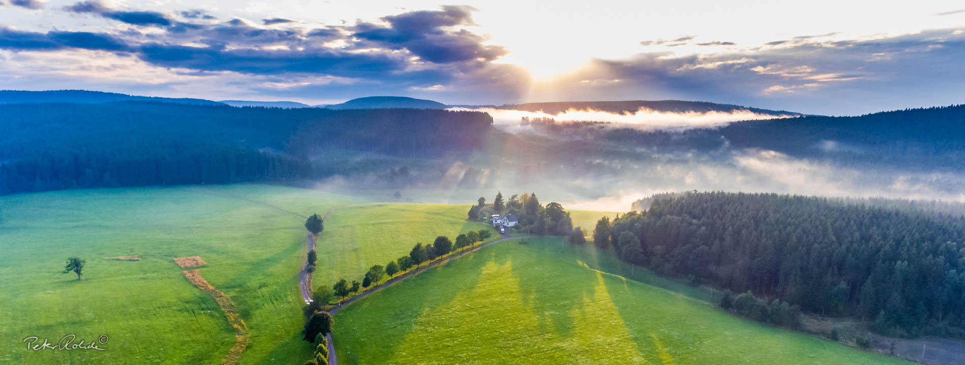
Kammerbruch at the Großer Seeberg
With the "Kammerbruch", the Geopark has the best outcrop of the Triassic/Jurassic boundary outside southern Germany. The Thuringian relict deposits of the Upper Triassic (Rhaetian) and Lower Jurassic (Liassic), which are linked to fault zones, play an important role as a palaeogeographical "link" between the southern and northern German deposits.
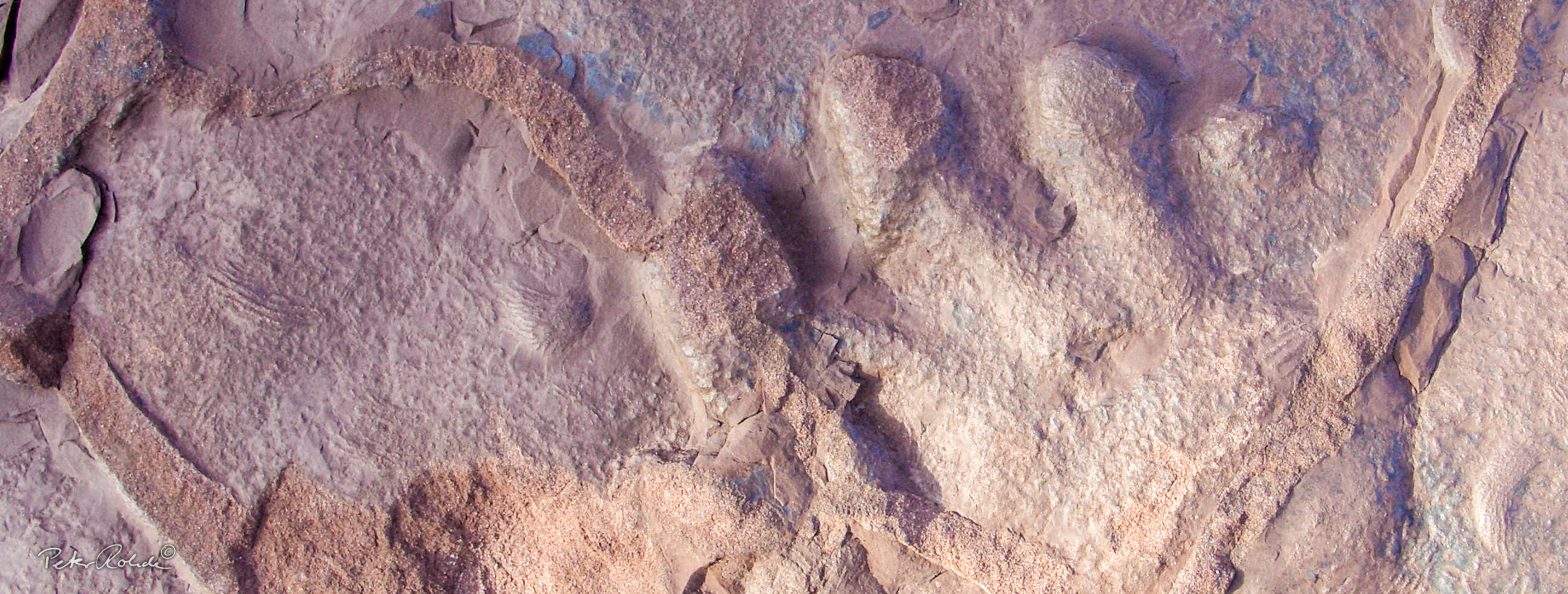
The Kammerbruch quarry contains banks of light yellow fine sandstone up to 4 metres thick, which have been extracted as a high-quality building material since the 12th century. These fine sandstones, which were formed in a river delta, pass over into finer-grained layers and are finally overlain by marine mudstones of the Lower Jurassic.
In the exposed sequence of the Rhaetian, the deposits of a river interlock with brackish, but never fully marine sediments. A wide variety of sedimentary marks can be observed. Dry cracks are rarely observed on the bedding planes. Ripple marks, which indicate very shallow water, and scour marks are common. The leading marine fossil of the Middle Council, the mussel Rhaetavicula contorta, is missing from the Seeberg. Its south-eastern distribution limit is the Eisenach area approx. 30 km north-west of the Seeberg.
Seeberg sandstone was used in many important buildings, including the 63 m high St. Viti Church in Günthersleben-Wechmar in 1843, Erfurt Cathedral and the neighbouring St. Severi Church, the Ducal Museum in Gotha and the building of the former Foreign Office in Wilhelmstraße in Berlin.
The quarry, which was initially shut down around 1960, was placed under protection as a geological natural monument (ND) in 1981, following a suggestion by O. Wagenbreth (1970). The natural monument is embedded in the Seeberg nature reserve. This protected status remains despite the resumption of mining in the 1990s and the preservation of the outcrops of the Triassic/Jura stratigraphic profile is still the most important conservation objective. The current rock excavation is only carried out as required and specifically for use in the preservation of historical monuments. The geological documentation function of the outcrop has improved considerably as a result of the extraction.
The Kammerbruch natural monument is of European significance as a type locality of a sequence of strata extending from central Poland to Denmark and one of the most important outcrops of the Triassic/Jurassic boundary in the Central European Keuper Basin.
The Triassic/Jurassic boundary is associated with a little-known global extinction event in which around half of all species became extinct. It is the fifth largest mass extinction in the history of the earth, as a result of which, for example, the conodonts became extinct and the ammonites almost died out. There was also a serious faunal cut on land. With the exception of crocodiles, all large crurotarsi, a group of archosaurs, became extinct. The decimation of the archosaurs freed up many ecological niches, which in the Jurassic were predominantly occupied by dinosaurs, which then advanced to a dominant position on the mainland.
The Kammerbruch is part of GeoRoute 5 "Seebergroute" and has an explanatory panel. At the GeoInfopoint Günthersleben, the historical quarry operations on the Seeberg are depicted. The role of Seeberg sandstone as an important building sandstone is also thematised.