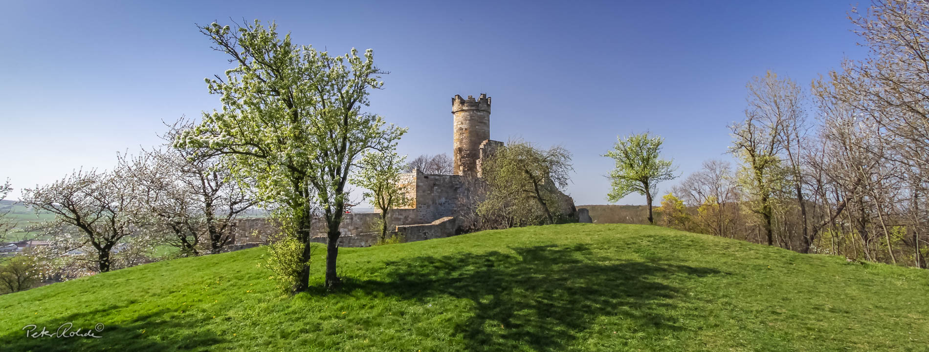
Discover the geological treasures of the UNESCO Global Geopark Thuringia Inselsberg - Drei Gleichen on the new map of the Thuringian State Office for the Environment, Mining and Nature Conservation (TLUBN). The interactive map shows all four geoparks in Thuringia with their most interesting geotopes. The map can be accessed via the TLUBN map service (external link)
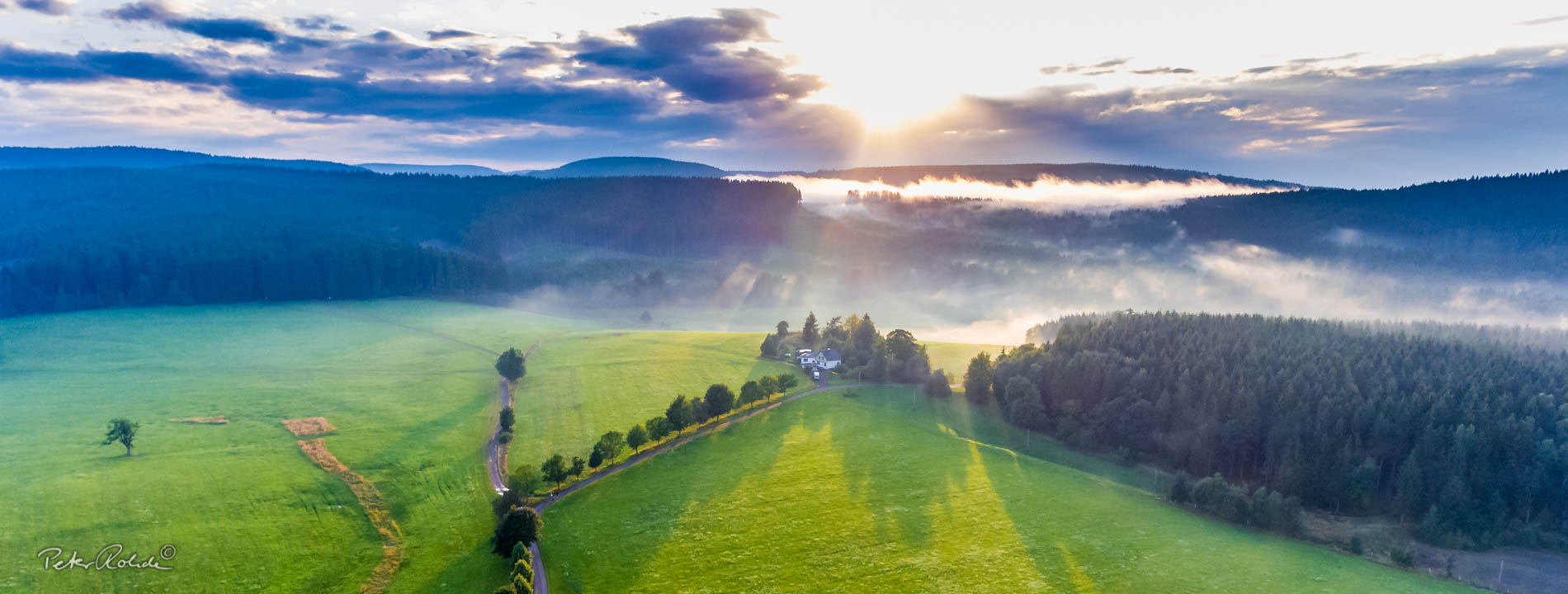
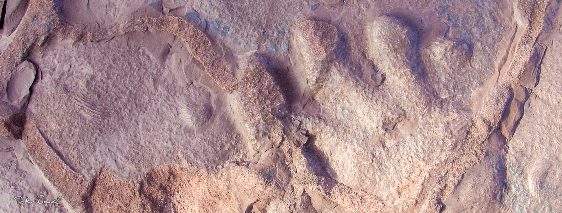
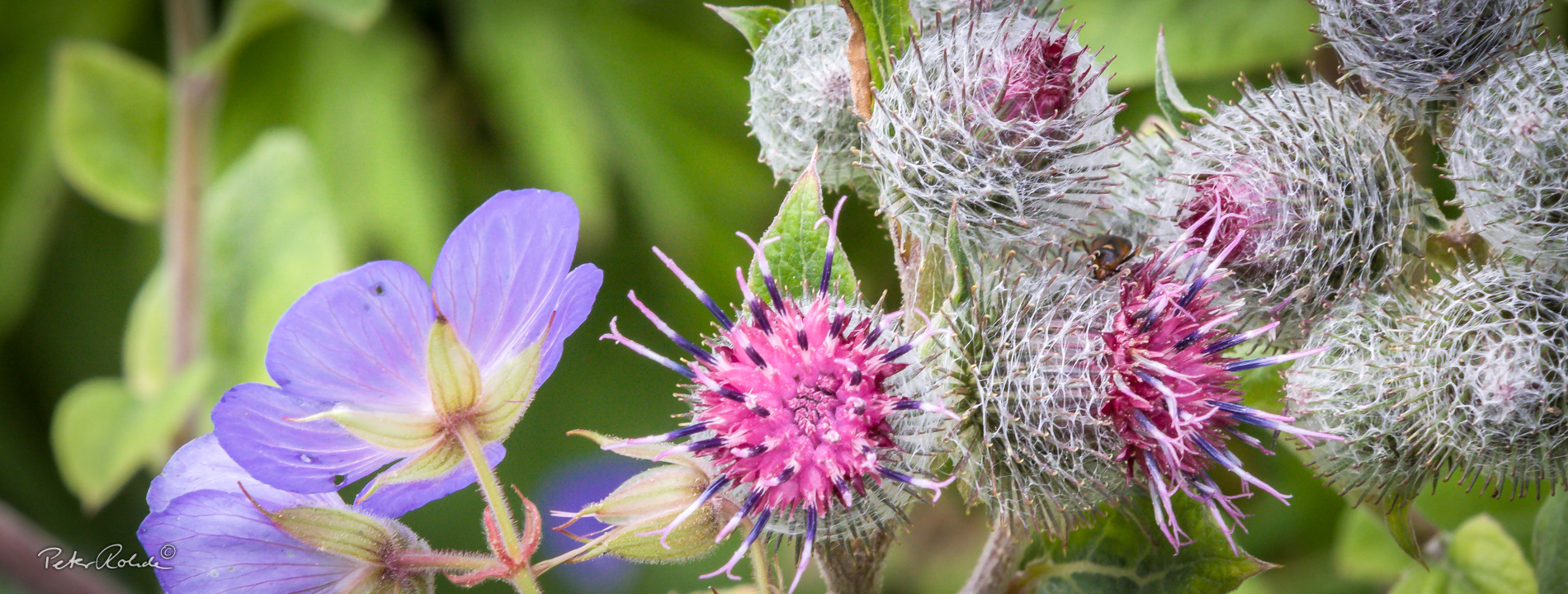
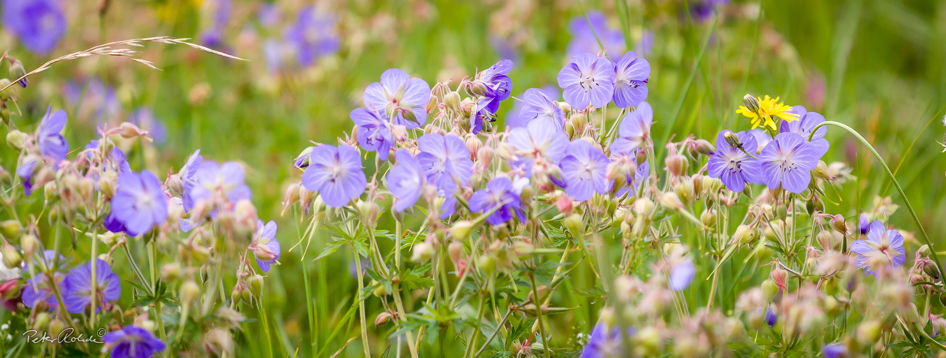
Geotopes are, for example, rocks, old quarries, rock outcrops at trailheads, caves, springs, sinkholes and research excavations. Some mountains, such as the Große and Kleine Seeberg near Gotha, the Gottlob near Friedrichroda, the Stahlberg near Floh-Seligenthal, the Wartberge near Ruhla or valleys such as the Lauchagrund near Bad Tabarz and the Marderbachgrund near Tambach-Dietharz tell particularly exciting stories about the past of our earth.
You can get to most of the geotopes via the designated GeoRoutes and get lots of information on display boards on site. You can download a leaflet for each GeoRoute here or get a printed version at the local tourist information offices.