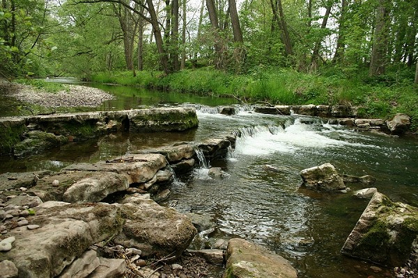


Grenzdolomit in the riverbed of the Apfelstädt
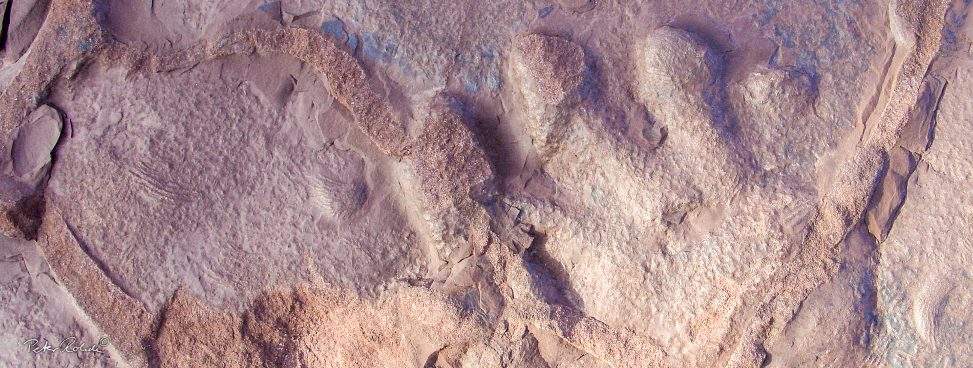
The Grenzdolomit is a 2 to 4 metre thick sequence of compact dolomite beds with intercalated thin layers of mudstone. The upper limit of this striking "Leithorizont" defines the boundary between the Lower and Middle Keuper at about 230 million years ago, hence the name Grenzdolomit.
While the underlying sandy marls and the overlying gypsum-bearing mudstones are rapidly eroded, the compact dolomite beds are very resistant and form a naturally formed terrain step in the bed of the Apfelstädt stream.
The Grenzdolomit is a marine deposit, as evidenced by the marine fossils enclosed in it. The most common is the mussel Costatoria goldfussi along with scales and bones of fish and, very rarely, remains of cephalopods (e.g. Germanonautilus).
The geotope is located on the Apfelstädt Jacobsweg Tour. Near the geotope, on the back of the Mill Trail info panel is an explanation of the Grenzdolomit.
Coordinates (location of the display board): 50° 53′ 58.56" N, 10° 51′ 25.26" E