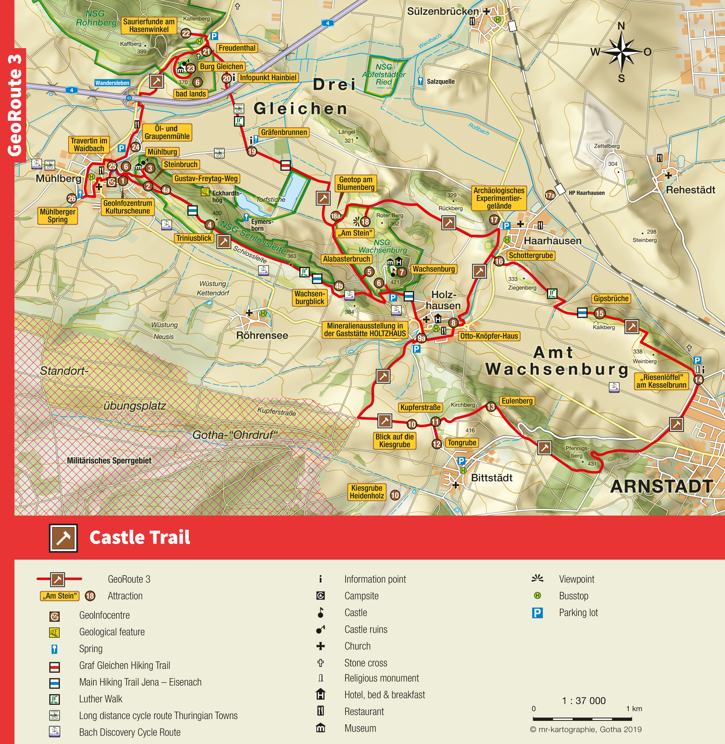
Castle Trail
GeoRoute 3
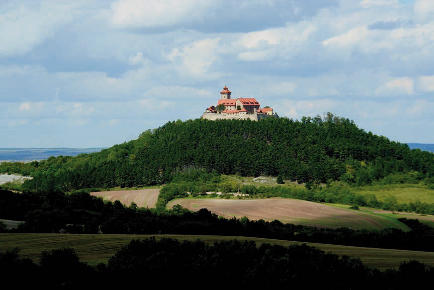
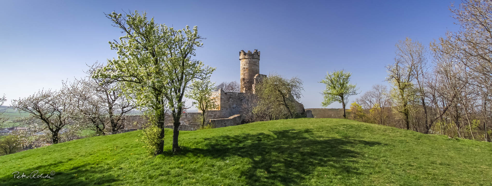
In the middle of the triangle formed by the towns Gotha, Erfurt and Arnstadt stand three proud landgrave castles on top of three hills. Mühlburg Castle, Castle Gleichen and Wachsenburg Castle look very different from each other and were built in different centuries. However the name of the group of castles probably comes from one of the numerous sagas and legends they are associated with. Accordingly, the gentle hilly landscape was hit by a heavy storm in May 1231. Suddenly all three castles were struck by lightning (in another version it was just one ball lightning). Fires broke out in all three castles and from further away it looked like three giant torches burning on top of the three hills. Since then, according to the legend, the castles and the surrounding area has been known as “Drei Gleichen” (“Three identicals”).
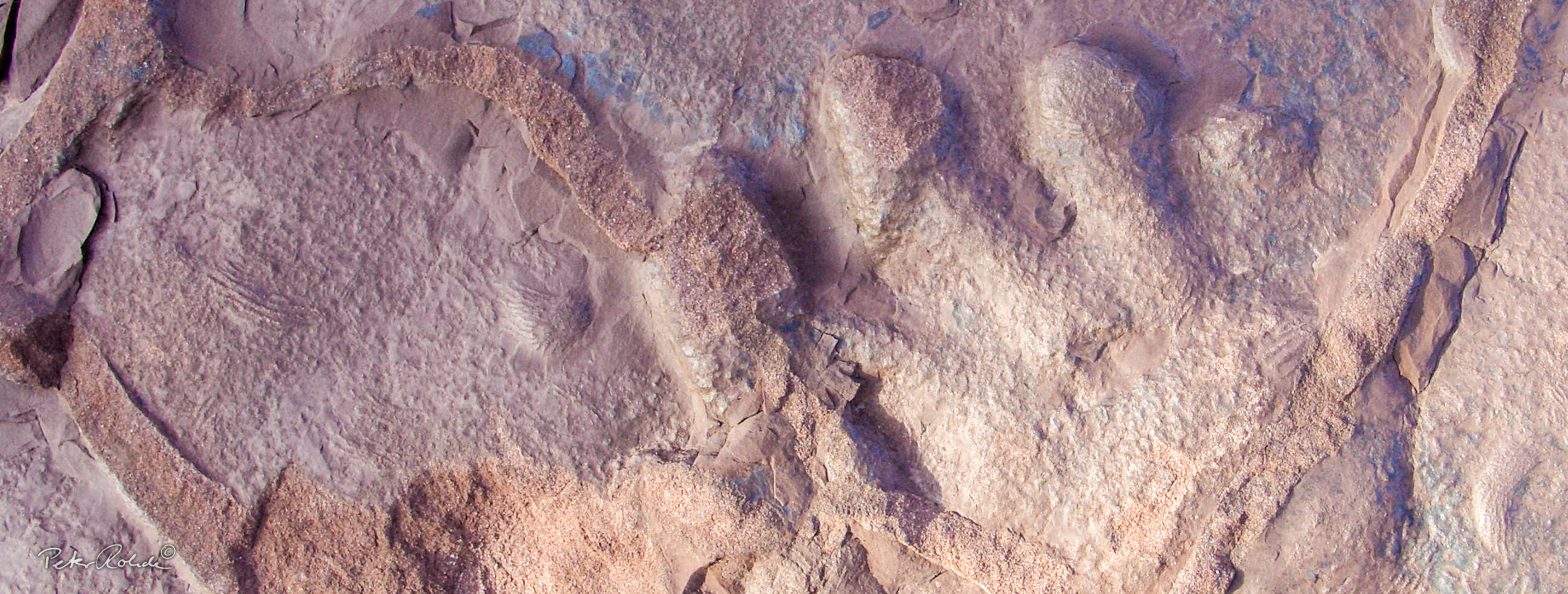
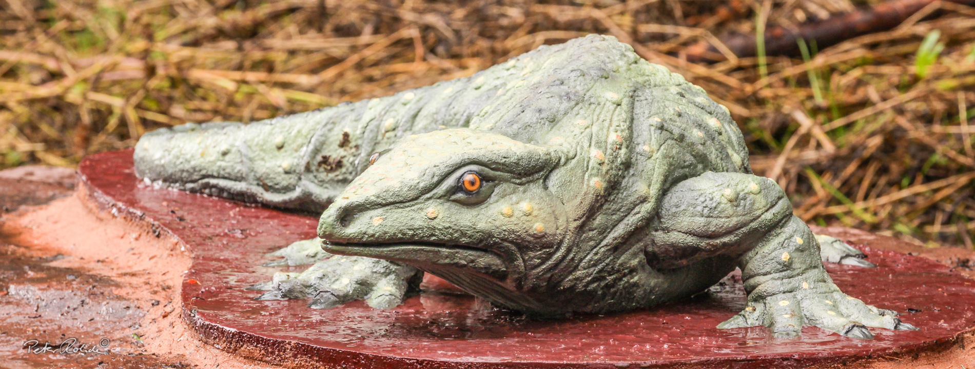
There is more to the Drei Gleichen-castles than the many legends about devastating fires, cruel robber-knights, kidnapped princesses or medieval bigamy. They also “guard” an exciting geological treasure that dates back over 200 million years. Back then, the first big dinosaurs like the six-metre long “Frankish Lindworm” Plateosaurus engelhardti roamed the area where now the three castles stand. We know this because of the fossils (bones, teeth) found in the Hasenwinkel on the Kallenberg close to Castle Gleichen. A reconstruction of this herbivore can be seen along the Saurian Discovery Trail (GeoRoute 6).
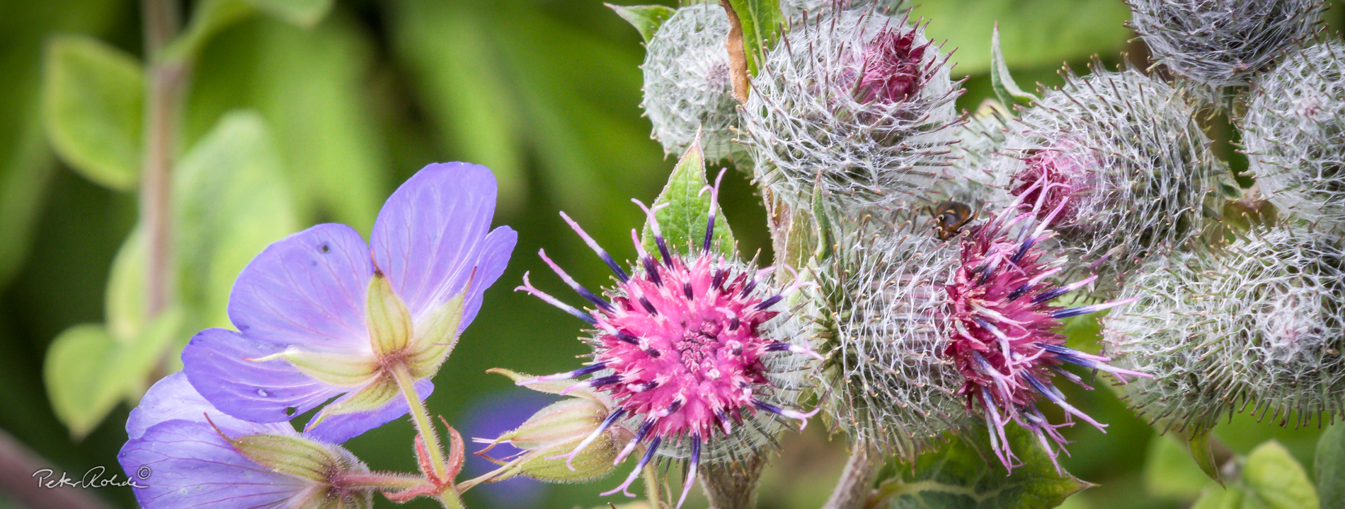
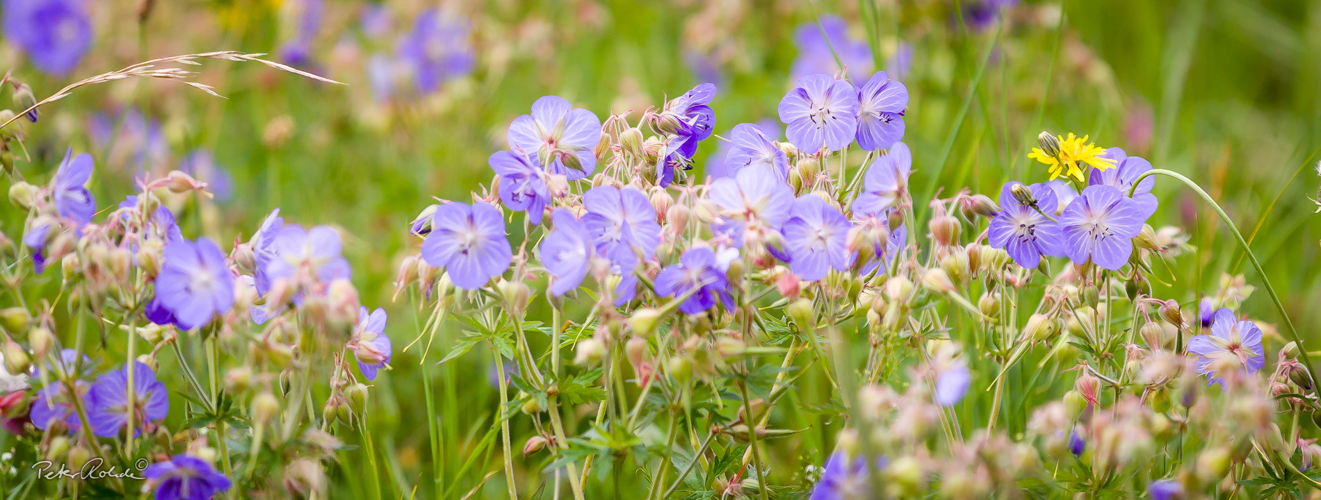
Even though the Thuringian Castle Area presents itself as a gentle and romantic landscape there is also a harsher side to it. These are the Badlands, extensive, nearly vegetation-free red and greyish-green slopes of claystone and marl on the south side of the three castle hills. The very low nutrient content of the soil only supports the development of a grassland or steppe landscape. This very exceptional environment is habitat to a very distinct flora and fauna. Badlands are an extremely rare type of landscape in Germany.
- Distance / Category: approx. 31 km
- Circular trail (western section approx. 12 km; middle section: approx. 7 km, eastern section: approx. 12 km)
- Elevation: approx. 260 – 420 m above sea-level
- Difficulty: easy – moderate
- Trail characteristics: field roads, paved footpaths in the towns
- Geological stations: dinosaur fossils in the Hasenwinkel (Freudenthal/Wandersleben), Badlands on the castle hills, Karst spring “Mühlberg Spring“ and Travertin (Mühlberg), Alabaster quarry below Wachsenburg Castle, experimental archaeology site Haarhausen (reconstruction of a 3rd century Roman pottery)
- Touristic stations: Wandersleben: Castle Gleichen, Mühlberg: Mühlburg Castle, Holzhausen: Wachsenburg Castle
- Information: Tourist-Information and GeoInfocentre “Kulturscheune“ Mühlberg
Text: Bettina Aschenbrenner (PhD), Tourismusverband Thüringer Wald Gothaer Land e.V.