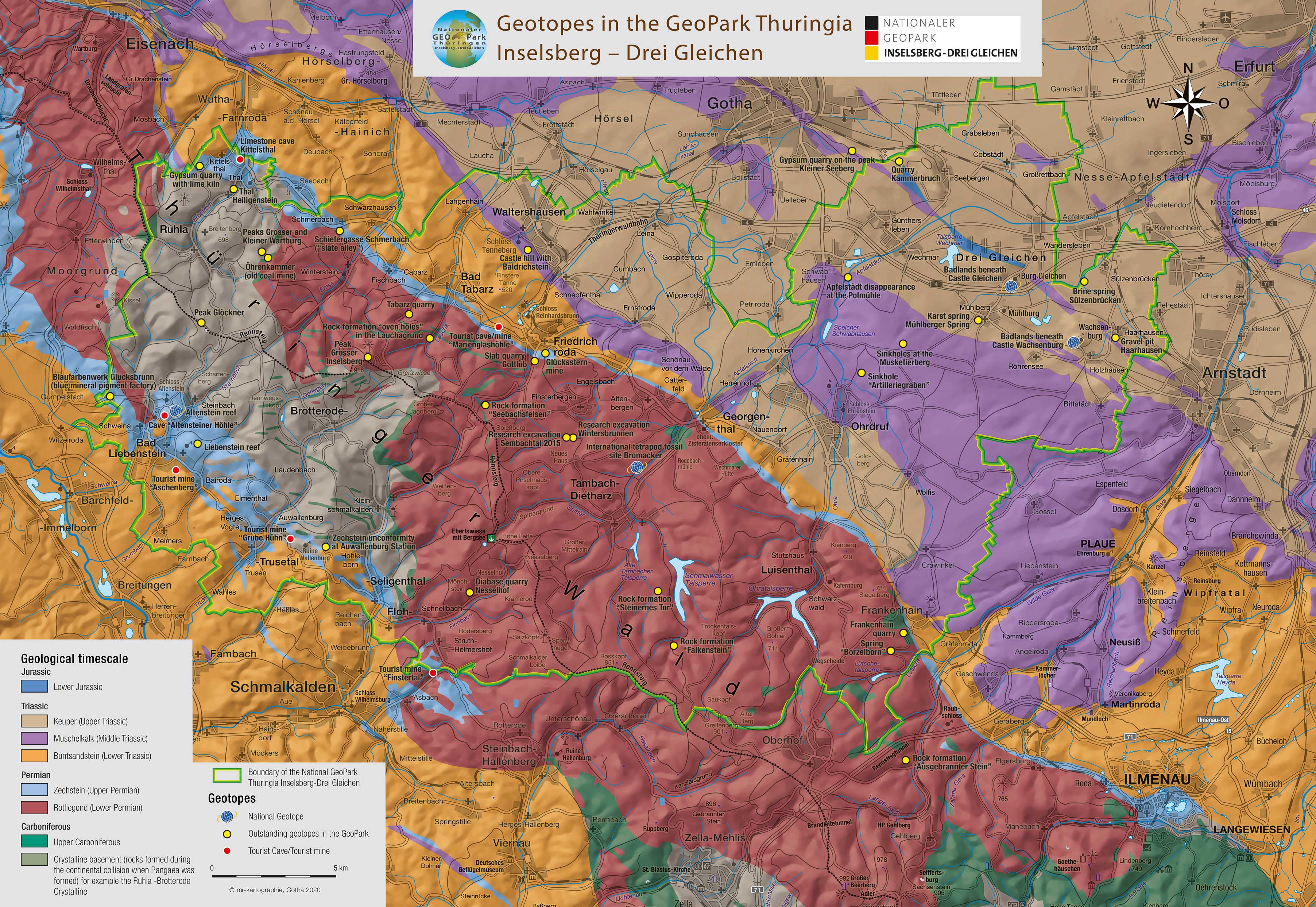


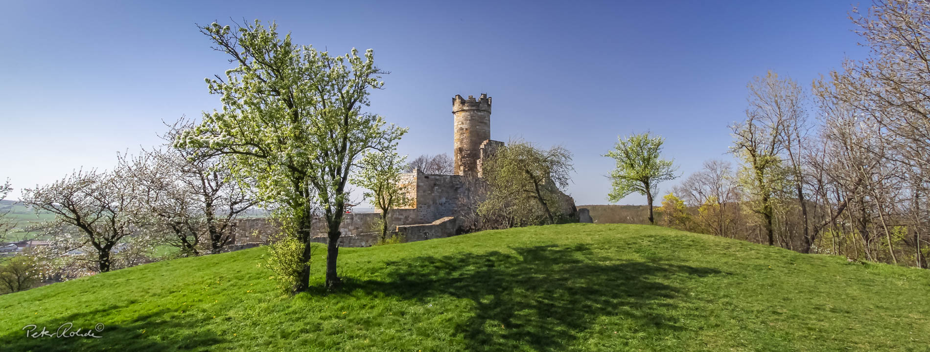

Geology
The rocks in the geopark area originate in a time span ranging from around 550 million years ago until today.
The rocks of the so-called basement are found in the area around the Inselsberg known as the Ruhla-Brotterode crystalline complex. These include metamorphic rocks that have been transformed by high pressures and temperatures (such as the Steinbach Augengneis) and magmatic rocks formed by the crystallization of rock melts (Ruhla Granite, Brotteröder Diorite and Trusetal Granite). These rocks originated during the so-called Variscan mountain building event. This high mountain range was located on the former supercontinent Pangaea. The main developmental phase was 322-290 million years ago.
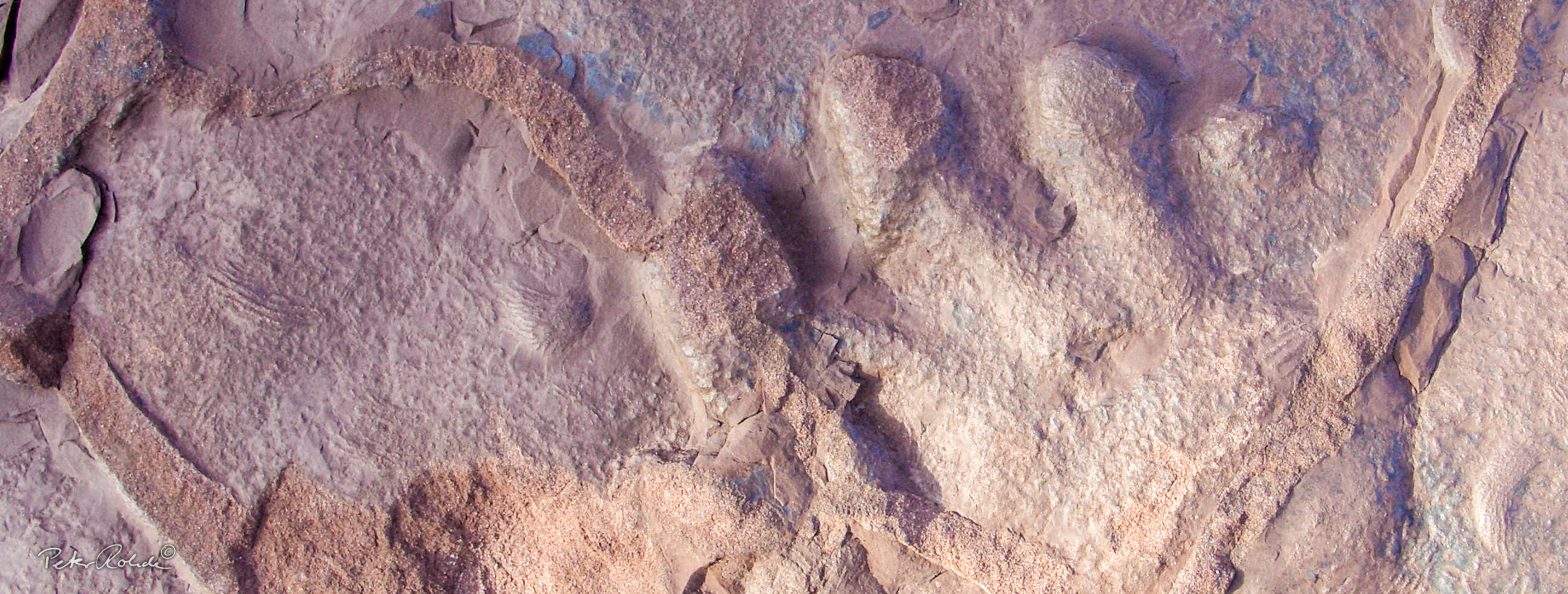
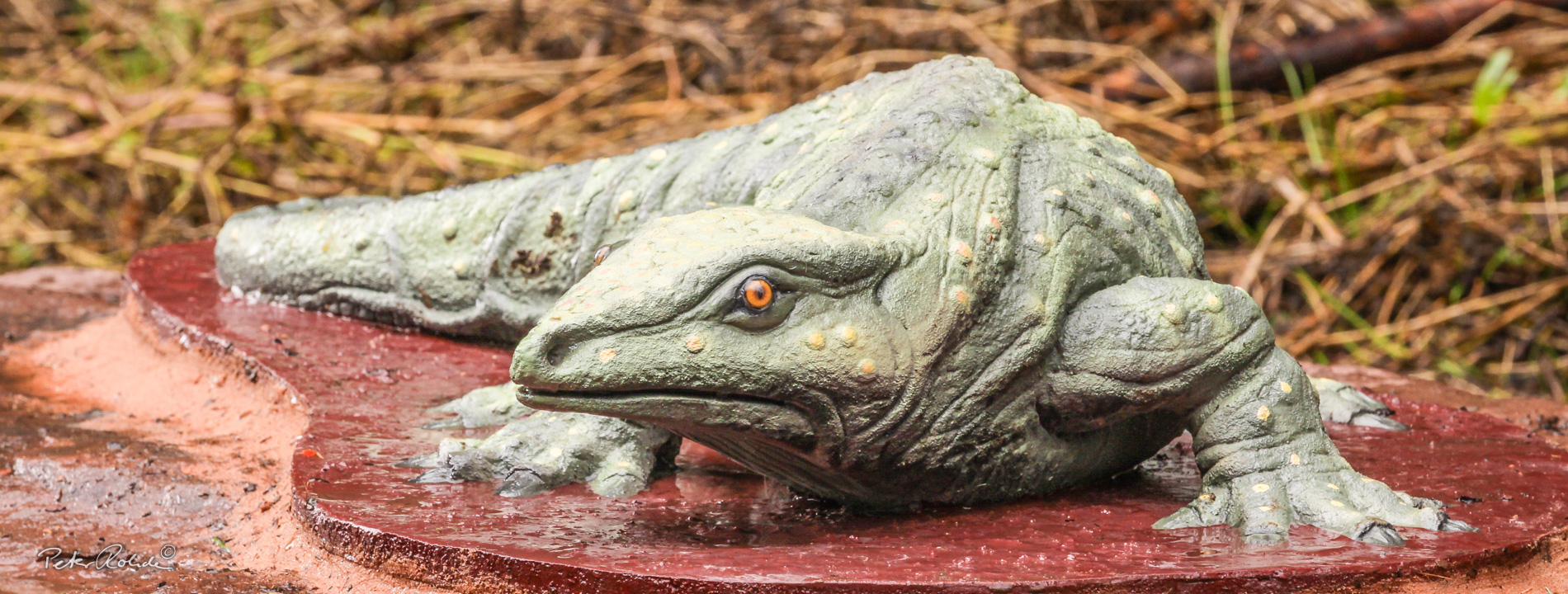
The main part of the Thuringian Forest comprises rocks belonging to the so-called transitional sedimentary cover (unfolded). For the most part these are red sedimentary rocks (sandstones, mudstones and conglomerates) from the Rotliegend period around 300 to about 257 million years ago (Lower Permian). These represent the solidified erosional debris from the Variscan Mountains. The world-famous Bromacker tetrapod fossil site is located in these Rotliegend sediments. In addition to this, the earliest Lower Permian is marked by an intensive volcanism, which is characterised by eruptions of felsic lava (silicate rich). Amongst others, this formed the rocks of the Grosser Inselsberg.
After the Rotliegend period, the geopark region was repeatedly flooded by sea water. These marine sediments form the actual sedimentary cover. On the one hand the beds of the Zechstein are found along the North and South edge of the Thuringian Forest. On the other, the North and South Thuringian foreland of the Thuringian Forest, especially the Drei-Gleichen region, consist of the three characteristic Triassic rock layers (Bunter Sandstone, Muschelkalk and Keuper; from 251 to around 208 million years ago). The overlying Jurassic sediments are only found in a few locations: small blocks that were down-dropped in a huge fault system and preserved.
The unconsolidated rocks such as gravel, sand and clay as well as travertine were deposited in the very late Tertiary and throughout the Quaternary period (from around 65 million years ago to today). They mark the current end of geological development and are not shown in the geological map below.
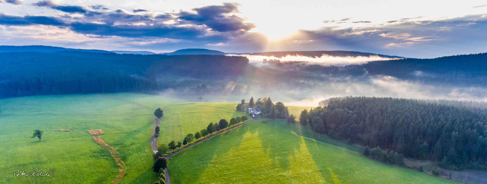
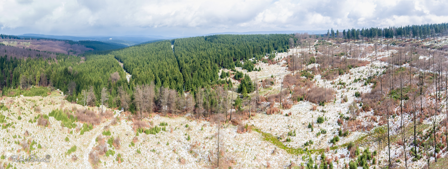
The landscape today is the result of processes that took place in the Tertiary and Quaternary periods. As the Alps were formed in South Europe, the resulting tension in the Earth's crust also affected our region. This caused the Thuringian Forest to be uplifted as a block by about 2000 to 2500 m. At the same time, the foreland between the Thuringian Forest and the Harz Mountains was downdropped to form a basis. Geologists call this process Saxonian Fault-Block Tectonics.