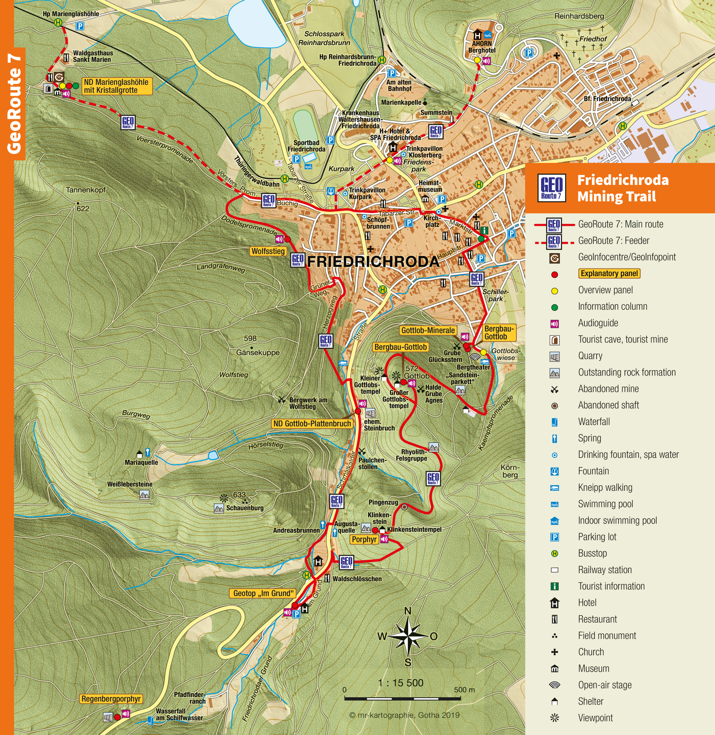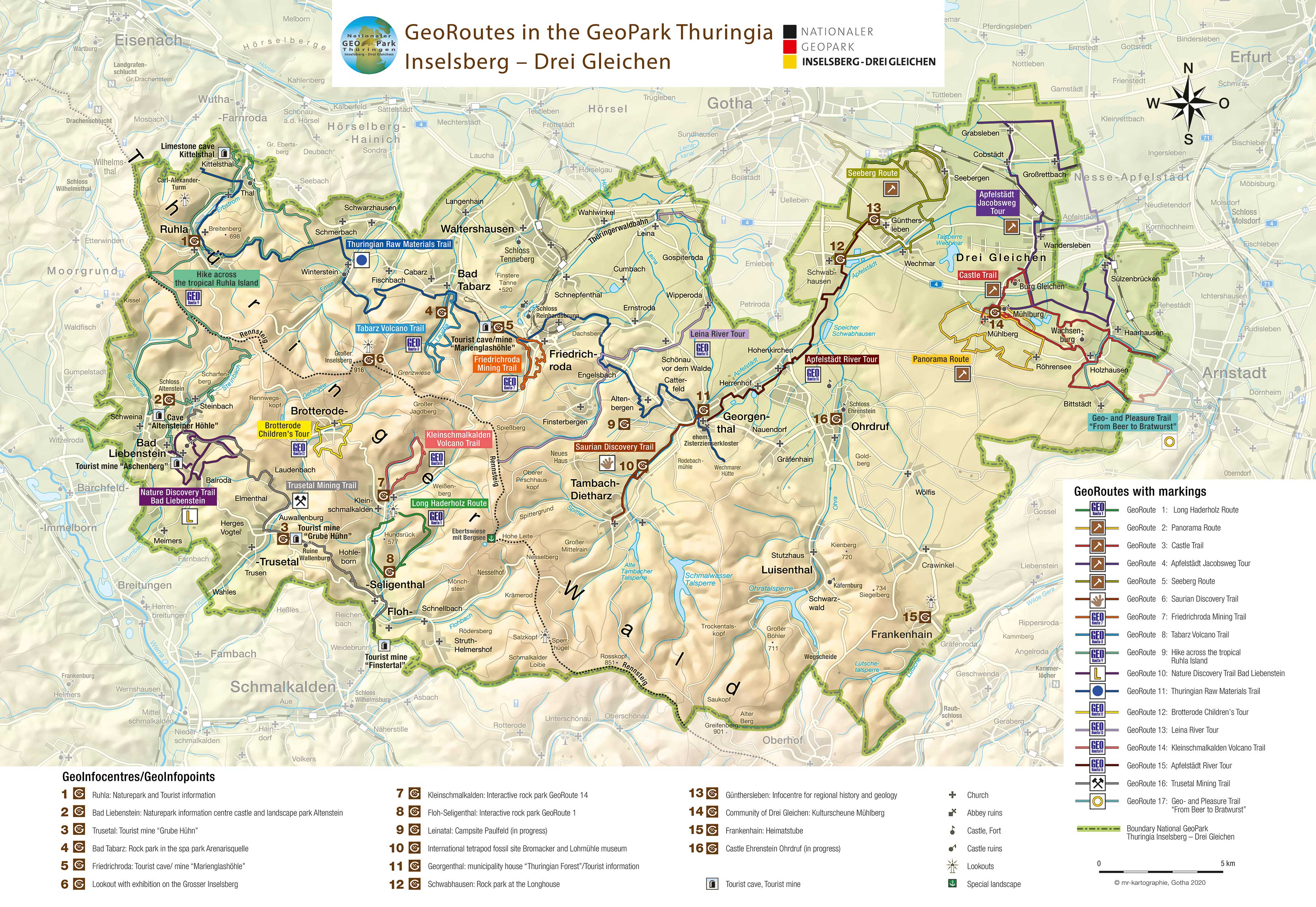

Friedrichroda Mining Trail
GeoRoute 7
Inside the Mountains
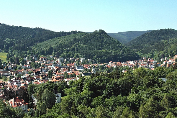
The “conquest” of the mountains around Friedrichroda begann about 500 years ago with ducal permission and the hope of finding silver. However, instead of silver, miners found iron and manganese ores. These were extracted in several mines in the subsequent centuries. The Gottlob (572 m above sea-level) is essentially perforated with mines. Some of the remains of the historic mining activities can still be seen for example the entrance of the Glücksstern Mine. This gives an authentic impression of the miner’s work. However, the Gottlob is also a very special geological site, where unique minerals have been found. It is the only place in the world where Gottlobit has been found.
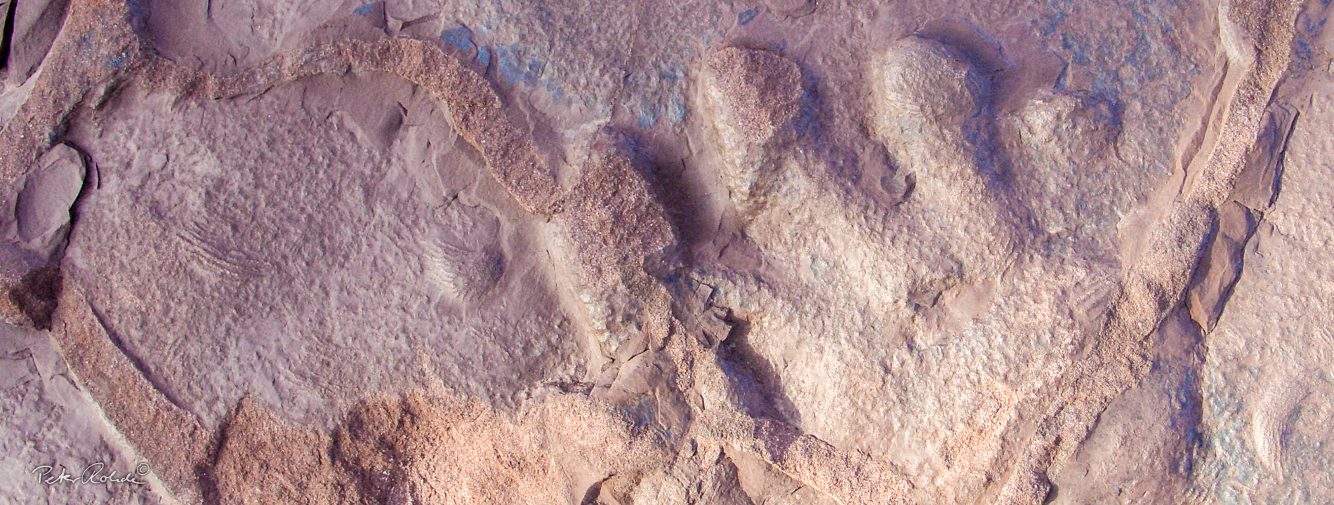
The citizens of Friedrichroda like to call the Gottlob their very own. However, around 290 million years ago the mountain was actually a sea richly populated with plants and animals. Over 10,000 amphibians and fish have left their marks in the rocks of the Gottlob. A diorama in the GeoInfocentre Marienglashöhle shows the plant and animal life in the former Gottlob Sea. The first saurian tracks on the Gottlob were found in 1847. The originators of these “footprints” were about 1 meter long and a type of intermediary between amphibians and reptiles. It is difficult to imagine today, but the fossil record also shows that Gingko plants were common during the times of the Gottlob Sea. However, the biggest tourist attraction in Friedrichroda is the Marienglashöhle, which attracts over 60,000 visitors each year. This former gypsum mine is a geological natural monument with one of the most beautiful and largest gypsum crystal grottos in Europe. The mine was developed in 1778 and the grotto with its lake and up to 90 cm long gypsum crystals was discovered six years later.
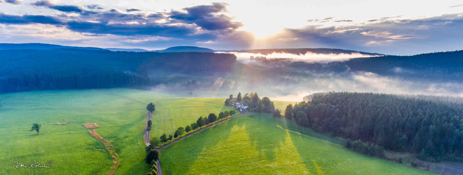
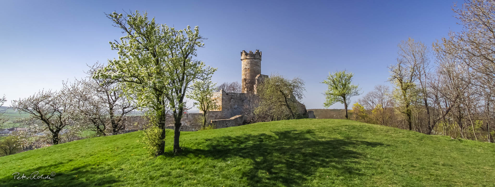
This GeoRoute takes you over the landmark hill of Friedrichroda: the 572 m high “Gottlob“. From here and from the top of the Klinkenstein the hiker is presented with a wonderful view of the town and the western Thuringian Forest. In addition to this the route also follows the Dodels- and Kaempfspromenade and passes through the Schilfwasser Valley. Along the way there are several healing water springs and drinking fountains.
This GeoRoute is centred around the hill town Friedrichroda. The 400 year mining tradition of the town is still visible today: with each step along this trail you will find former tunnel entrances, abandoned quarries and pits. The local mines produced iron ore, mangenese ore, rhyolite rubble, sandstone slabs and gypsum amongst others.
The former gypsum mine in the Abtsberg is now a famous national treasure: the wonderful crystal cave Marienglashöhle, which is open daily (www.marienglashoehle.de).
- Distance / Category: approx. 7 km, Circular trail
- Elevation: approx. 420 – 570 m above sea-level
- Difficulty: moderate
- Trail characteristics: forest roads, sandy gravel roads, tarmac on some sections
- Geological stations: natural monument Plattenbruch am Gottlob, Entrance to the Glücksstern Mine (mineral site), Marienglashöhle
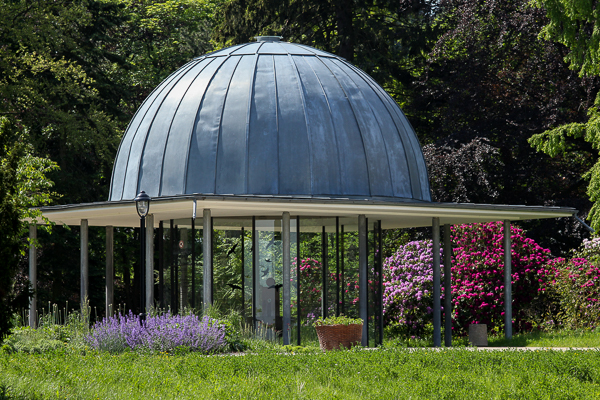
- Touristic stations: Swimming pool Friedrichroda, spa park, Bergtheater, St Blaise Church, Local History Museum, Information and Exhibition Centre Spiritual Tourism, castle park Reinhardsbrunn
- Service: Audioguide with 14 listening stations
- Information: GeoInfoCentre Marienglashöhle (on B 88) and Kuramt Friedrichroda
Text: Bettina Aschenbrenner (PhD), Tourismusverband Thüringer Wald Gothaer Land e.V.