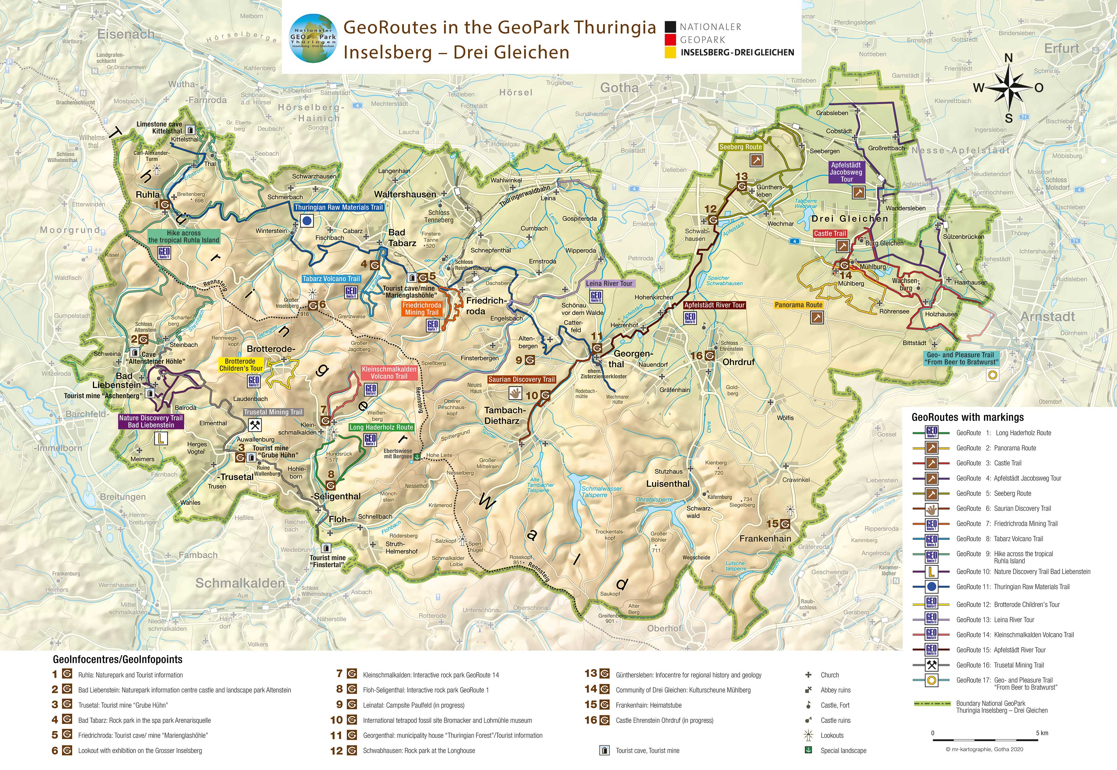

Thuringian Raw Materials Trail
GeoRoute 11
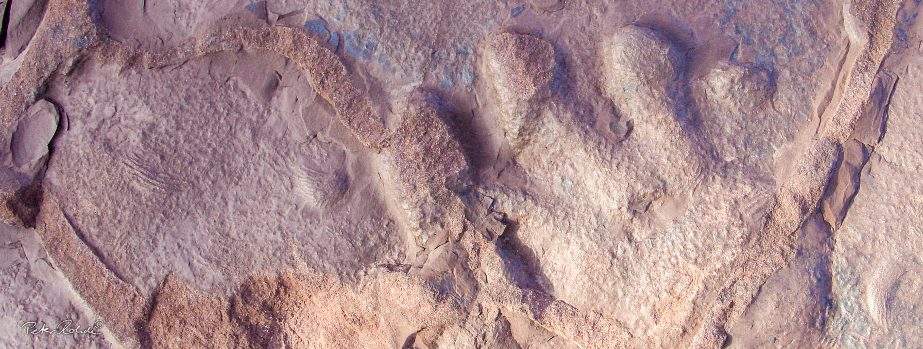
This GeoRoute introduces the visitor to the more than 1000-year old mining history as well as the raw materials that have played such an important role in Thuringia and especially the Thuringian Forest (incl. iron ore). Some, such as sandstone, are still important today. Overview and information panels along the trail explain the formation, deposits, mining and uses of the different raw materials (for example gypsum, coal, salt or cobalt).
By the way: there is very little difference between the diversity of raw materials once mined in the Thuringian Forest and the Erzgebirge. However the Saxonian deposits were much richer than the Thuringian.
- Distance / Category: approx. 50 km, linear walk
- Elevation: approx. 300 – 580 m above sea-level
- Difficulty: moderate
- Trail characteristics: sandy gravel road, some forest roads
- Villages along the route: Ruhla, Schmerbach, Winterstein, Fischbach, Bad Tabarz, Friedrichroda, Engelsbach, Catterfeld, Georgenthal
- Information: Tourist Information & GeoInfocentres in Ruhla, Bad Tabarz, Friedrichroda and GeoInfopoint Georgenthal
- Interactive Rock Park along GeoRoute 1
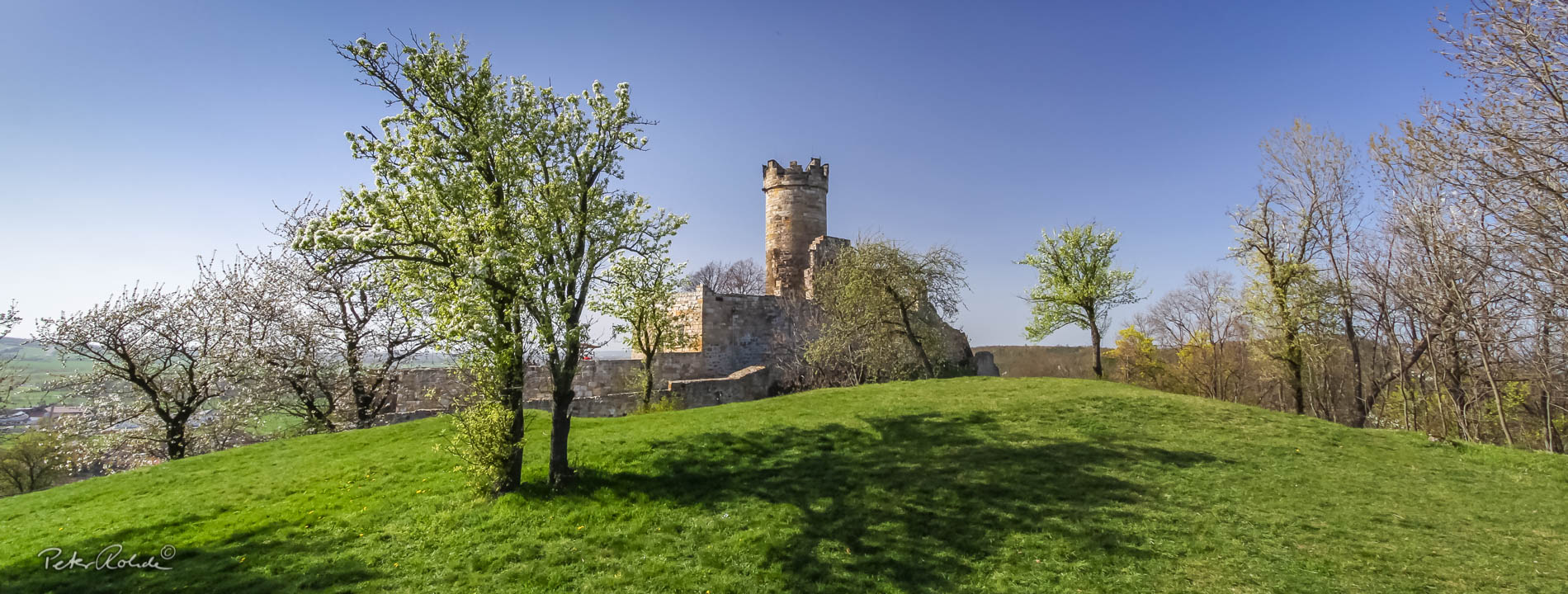
- Winterstein Castle ruins with dog grave
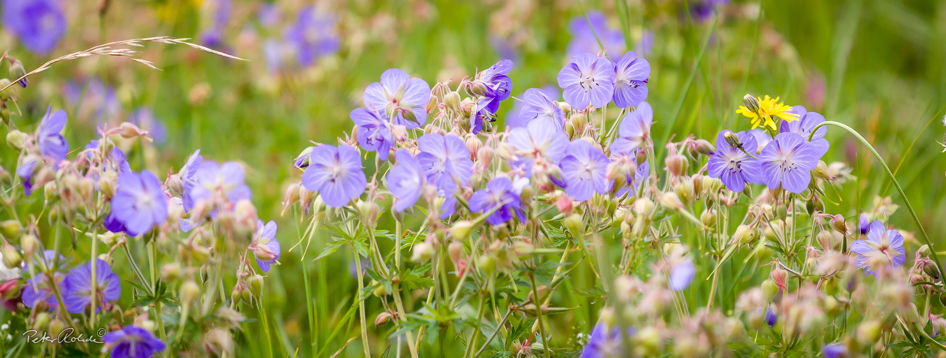
- Globe flower on a mountain meadow in Floh-Seligenthal
Text: Bettina Aschenbrenner (PhD), Tourismusverband Thüringer Wald Gothaer Land e.V.