
Leina River Tour
GeoRoute 13
Following the rivers on bike and foot
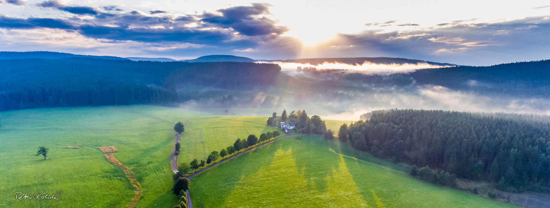
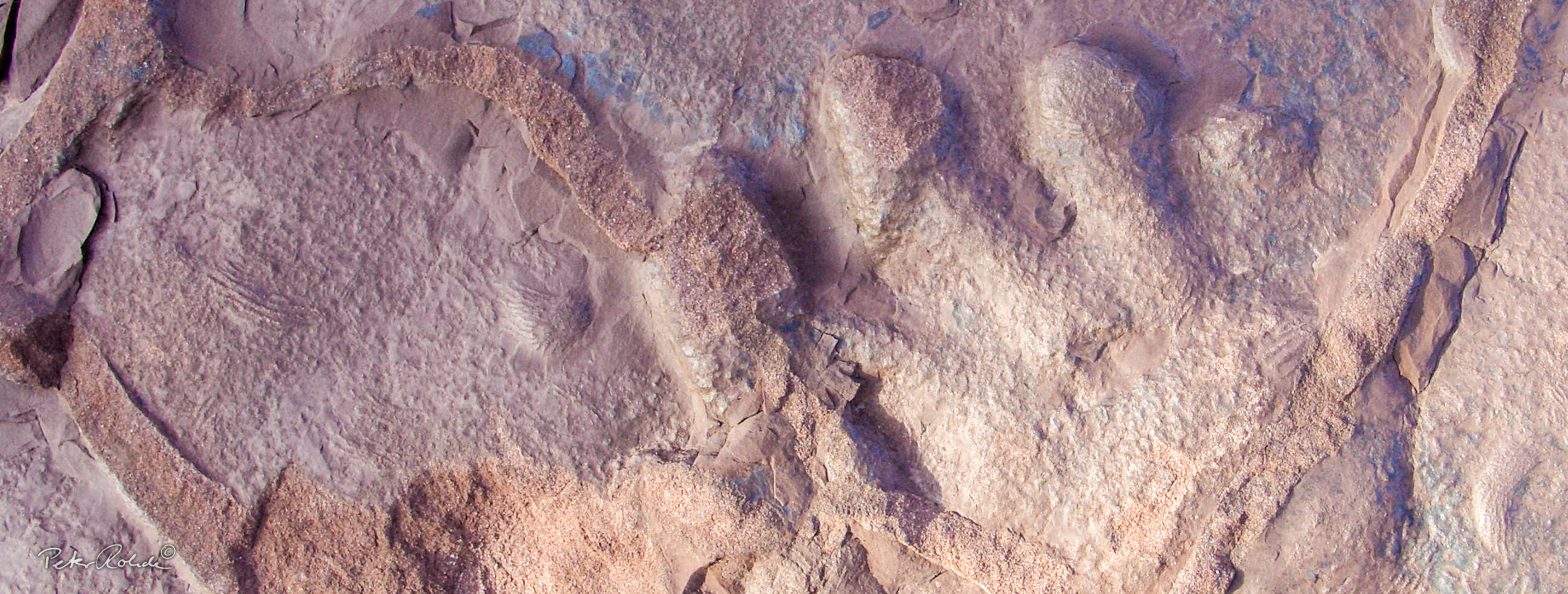
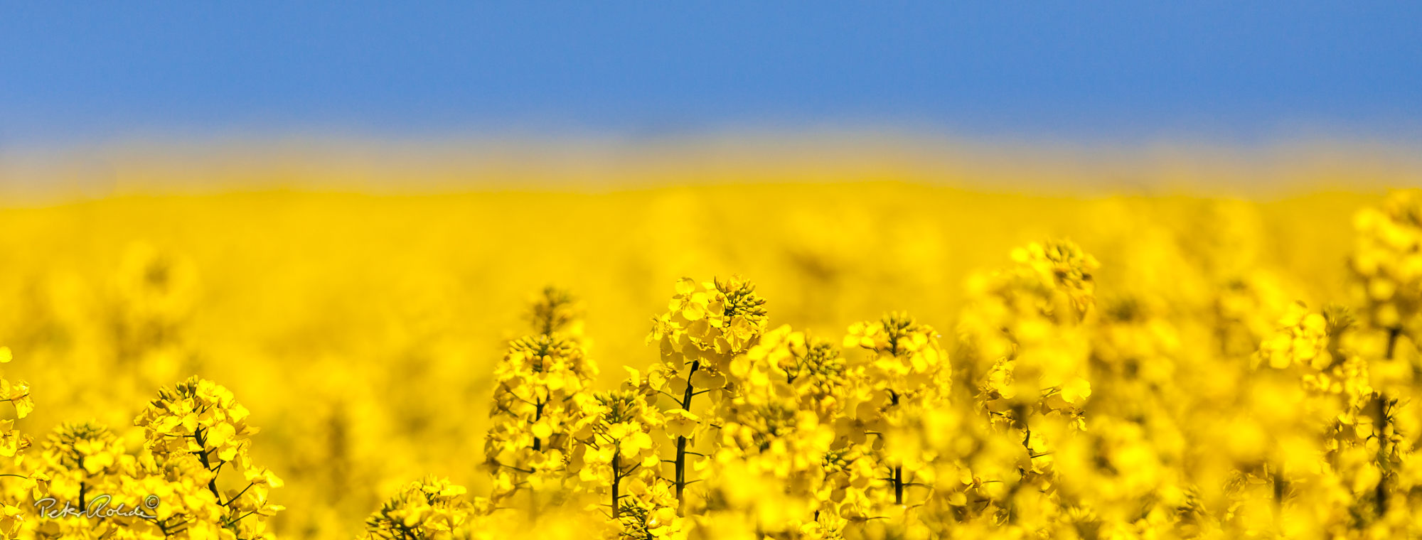
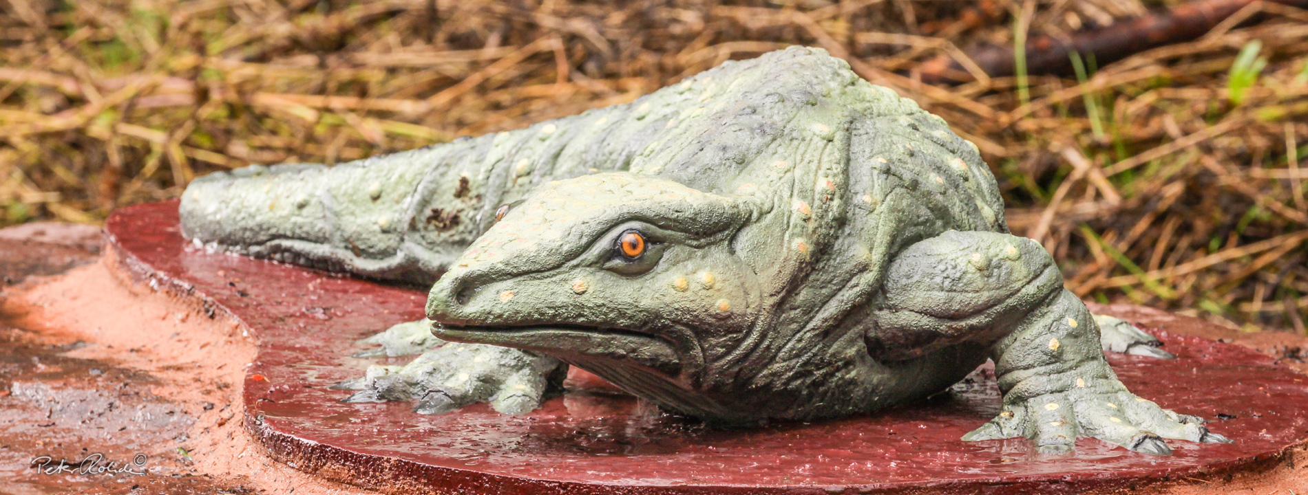
This GeoRoute follows the Leina river from the source Leinaborn near the Rennsteig to the village Leina, where it joins the river Hörsel. A large part of the river water is diverted to the Leina Canal, which already supplied the town Gotha with water in the 14th century. Today the canal is an industrial monument. This thematic route explains river dynamics, the water cycle and the development of floods. Scientific excavations on the outskirts of Finsterbergen unearthed numerous fossils, which document the changes in the flora and fauna due to climate changes in the Rotliegend period (280 million years ago). Amongst these is alos the smallest saurin found in Thuringia: 15 mm long larvae of the newt-like and just finger-long Branchiosaurus.
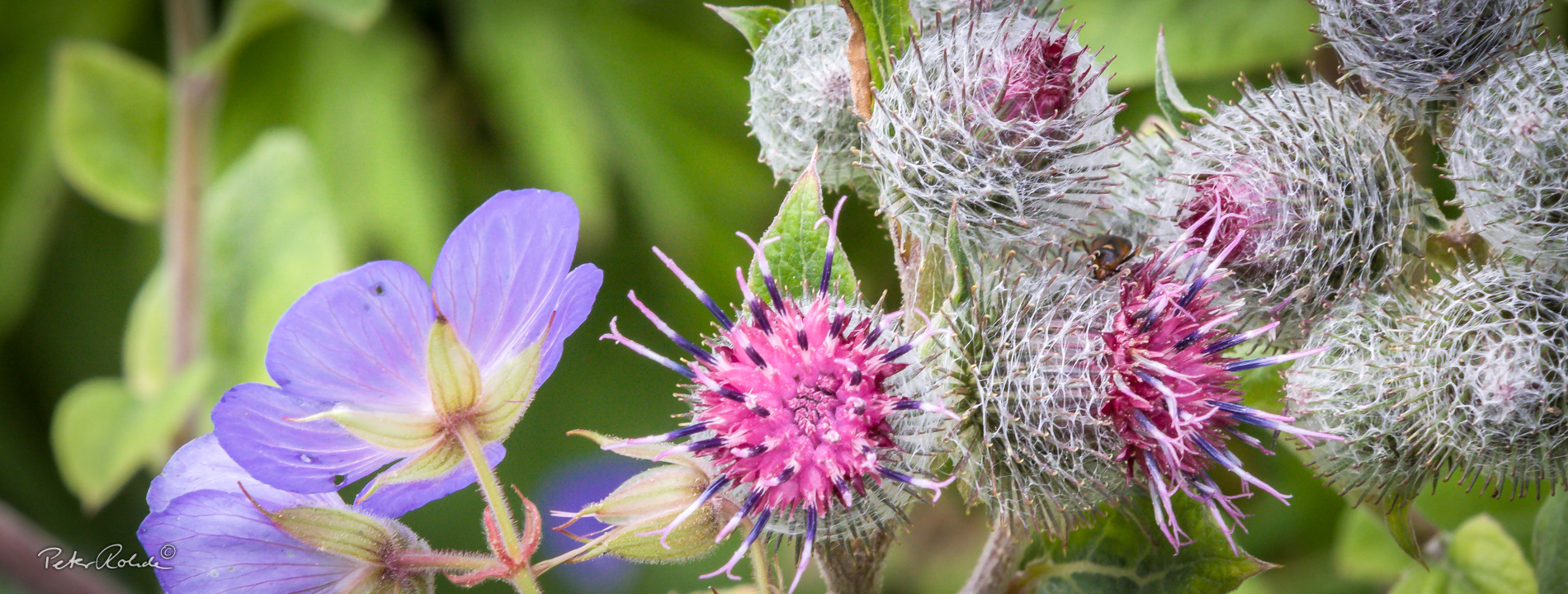
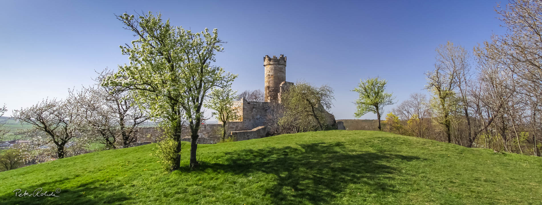
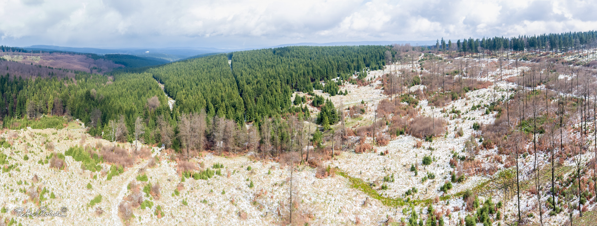
The river tour starts on the crest of the Thuringian Forest and ends just before the residential Town Gotha. Along the way it passes abandoned quarries, geological exposures and small lakes until one reaches the Boxberg (historic horse race track) with the wonderful view of the Grosser Inselsberg and to Gotha.
16 different infopoints have been installed along the route, which crosses the Thuringian Raw Materials Trail (GeoRoute 11).
- Distance / Category: approx. 25 km, linear walk
- Elevation : approx. 300 – 700 m above sea-level
- Difficulty: moderate
- Trail characteristics: forest roads, some sections on sandy gravel roads
- Villages along the route: Finsterbergen, Engelsbach, Schönau vor dem Walde, Wipperoda, Leina
- Information: Tourist Information Finsterbergen
Text: Bettina Aschenbrenner (PhD), Tourismusverband Thüringer Wald Gothaer Land e.V.