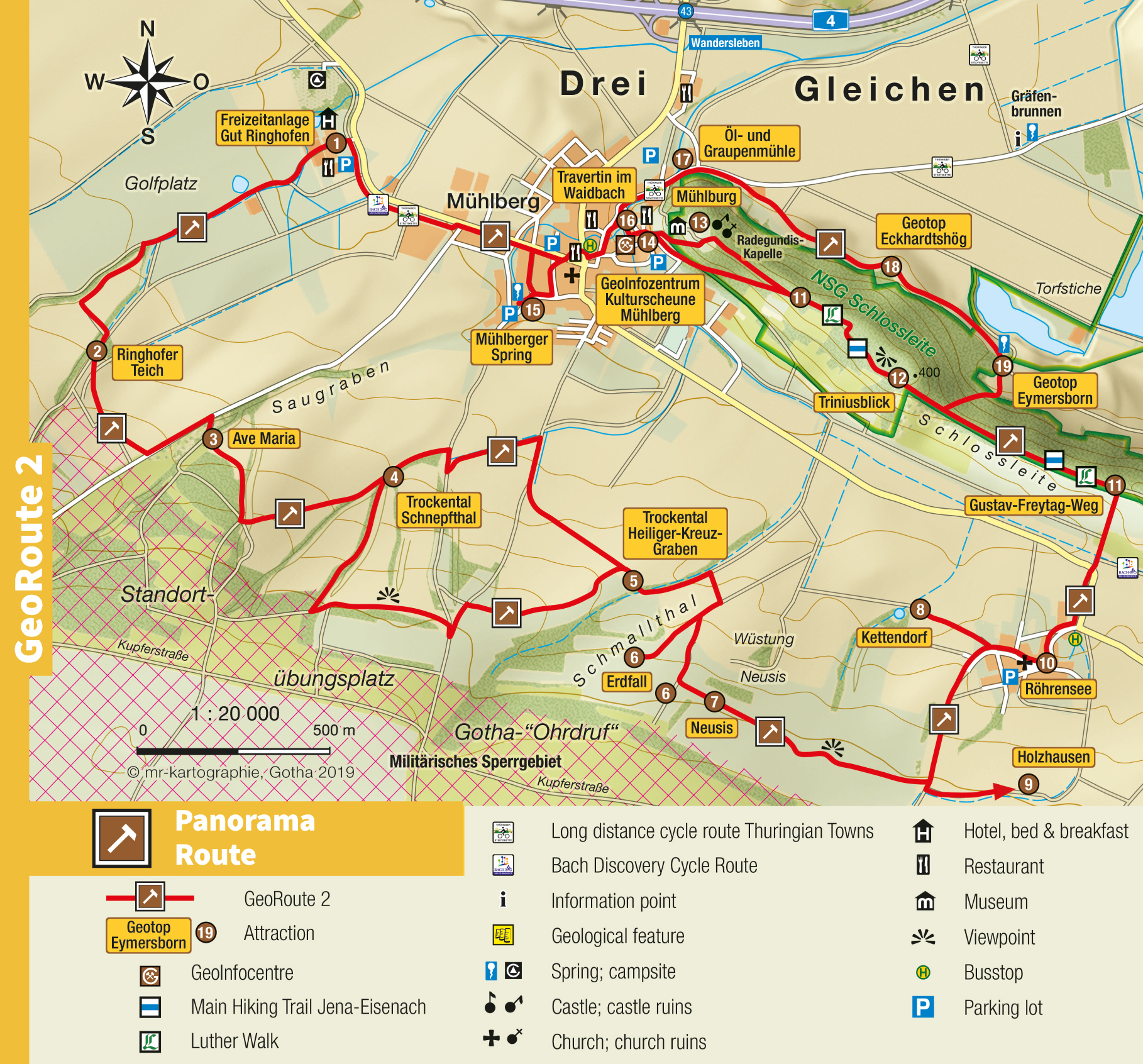


Panorama Route
GeoRoute 2
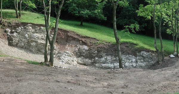
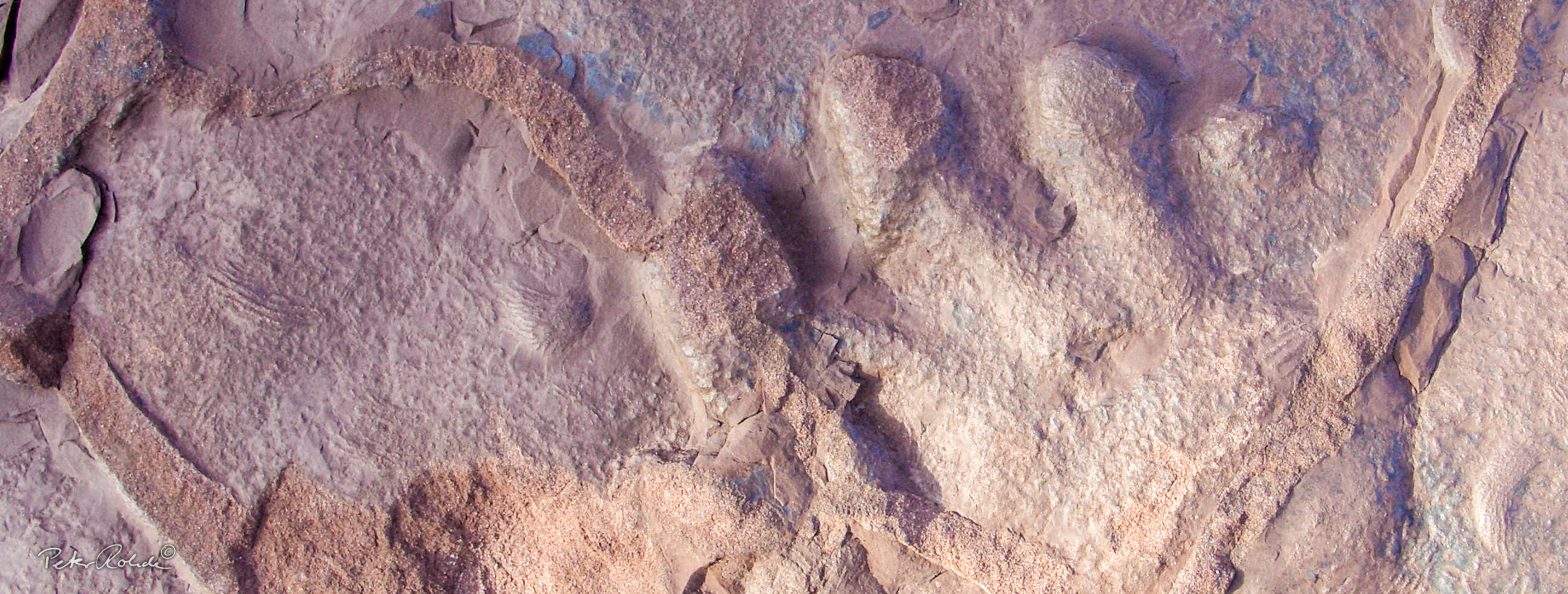
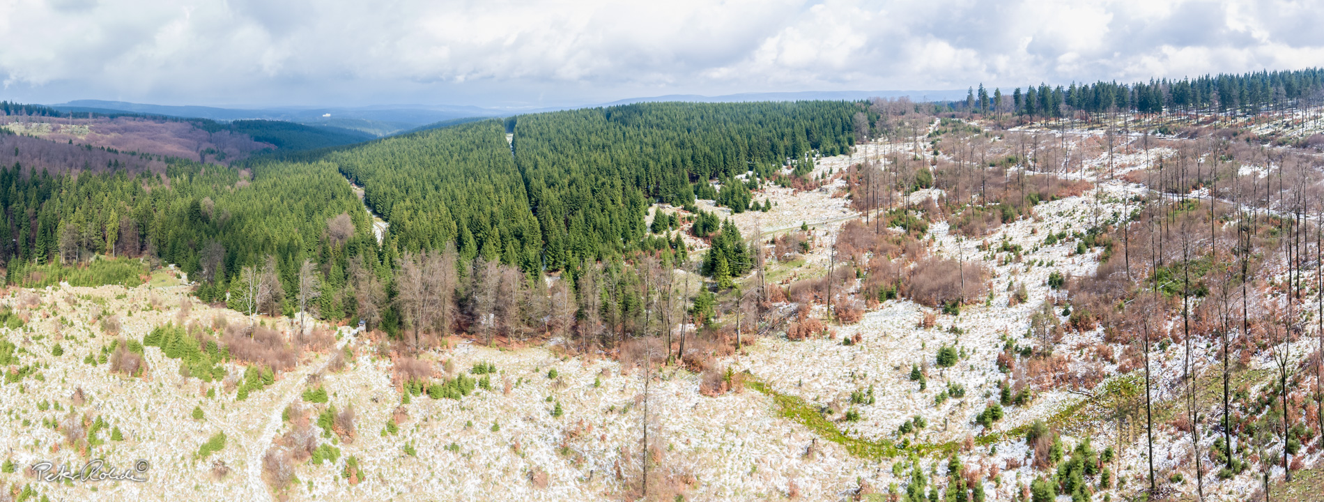
The Panorama Route starts at the Ringhofen Estate near Mühlberg. Sinkholes, springs and rock exposures accompany the walk until the route reaches the highlight, the mystical karst spring Mühlberger Spring. This clear spring grotto with its gorgeous and colourful play of lights and other attractions is an enigmatic sight and the reason why people settled here. The geotope at the Eckhardtshög exposes Upper Triassic (Keuper) gypsum. This raw material was extracted in several quarries in the Drei-Gleichen area as a building material.
- Distance / Category: approx. 19 km, Circular trail
- Elevation: approx. 260 – 400 m above sea-level
- Difficulty: easy – moderate
- Trail characteristics: sandy gravel roads, some sections on tarmac
- Villages along the route: Mühlberg, Röhrensee
- Geological stations: Mühlberg: Mühlberger Spring, a crystal clear karst spring formed approx. 7000 years ago in a sinkhole (the spring once powered seven mills), Travertine in the Weidbach, Schlossleite: Geotope Eckhardshög (Upper Triassic gypsum approx. 225 million years ago), Geotope Eymersborn (spring)
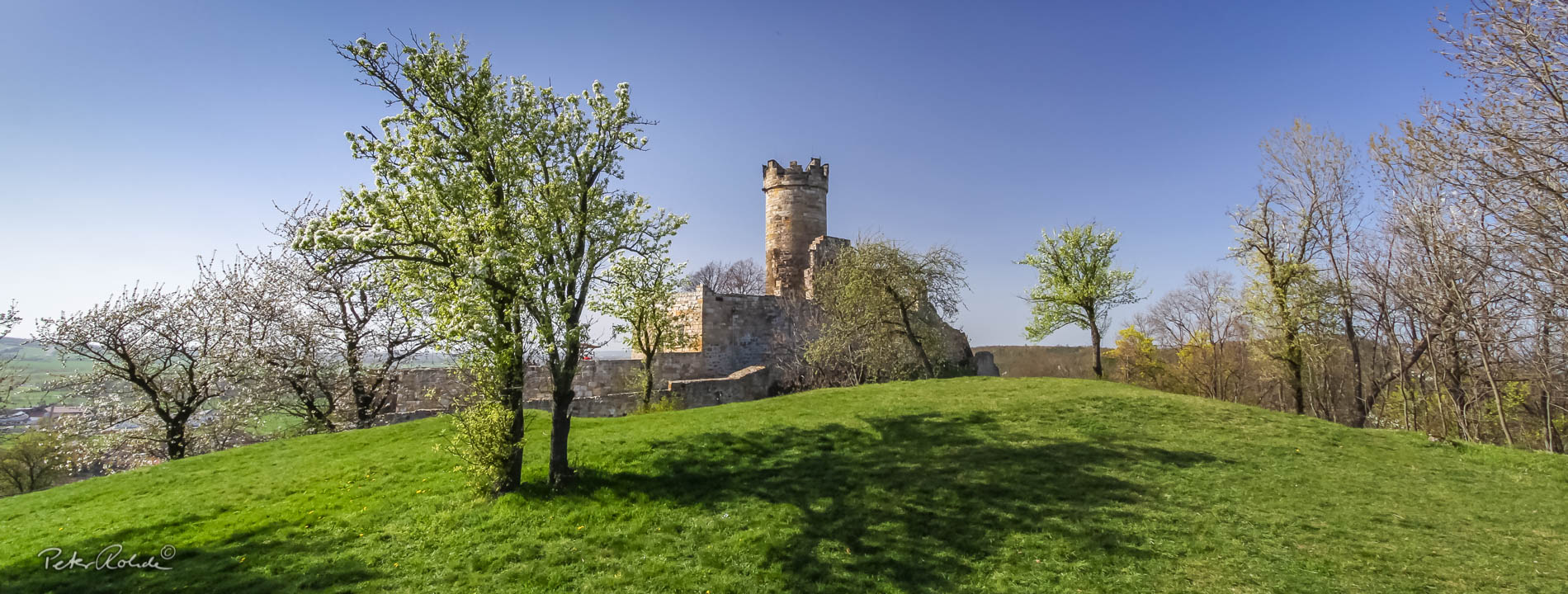
- Touristic stations: Mühlberg: oil and pearl barley mill (first recorded 1528, today a museum), Mühlburg Castle, small fire brigade museum, Ringhofen Estate, once a knight’s estate (first recorded 1249) with golf course, riding centre, restaurant and small hotel and small campsite nearby.
- Information: Tourist-Information and GeoInfocentre “Kulturscheune“
Text: Bettina Aschenbrenner (PhD), Tourismusverband Thüringer Wald Gothaer Land e.V.