



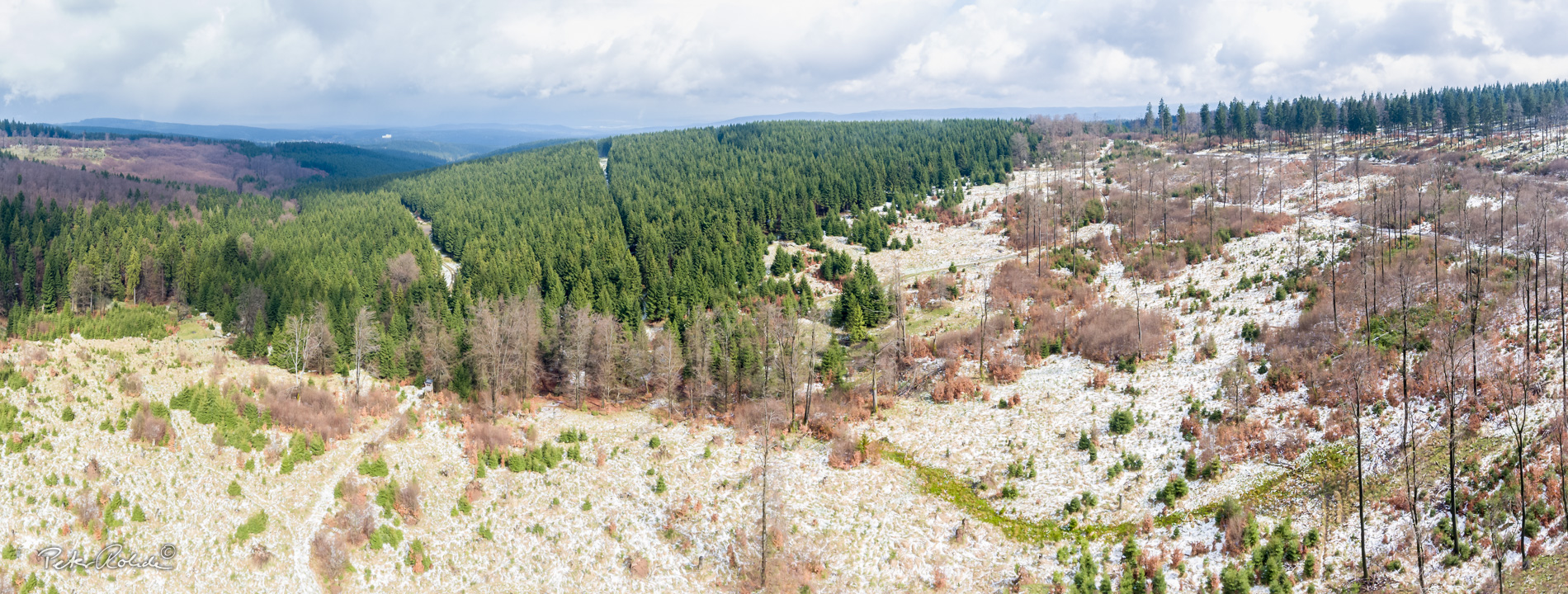


Old quarry at the Engestieg
The history of the quarry
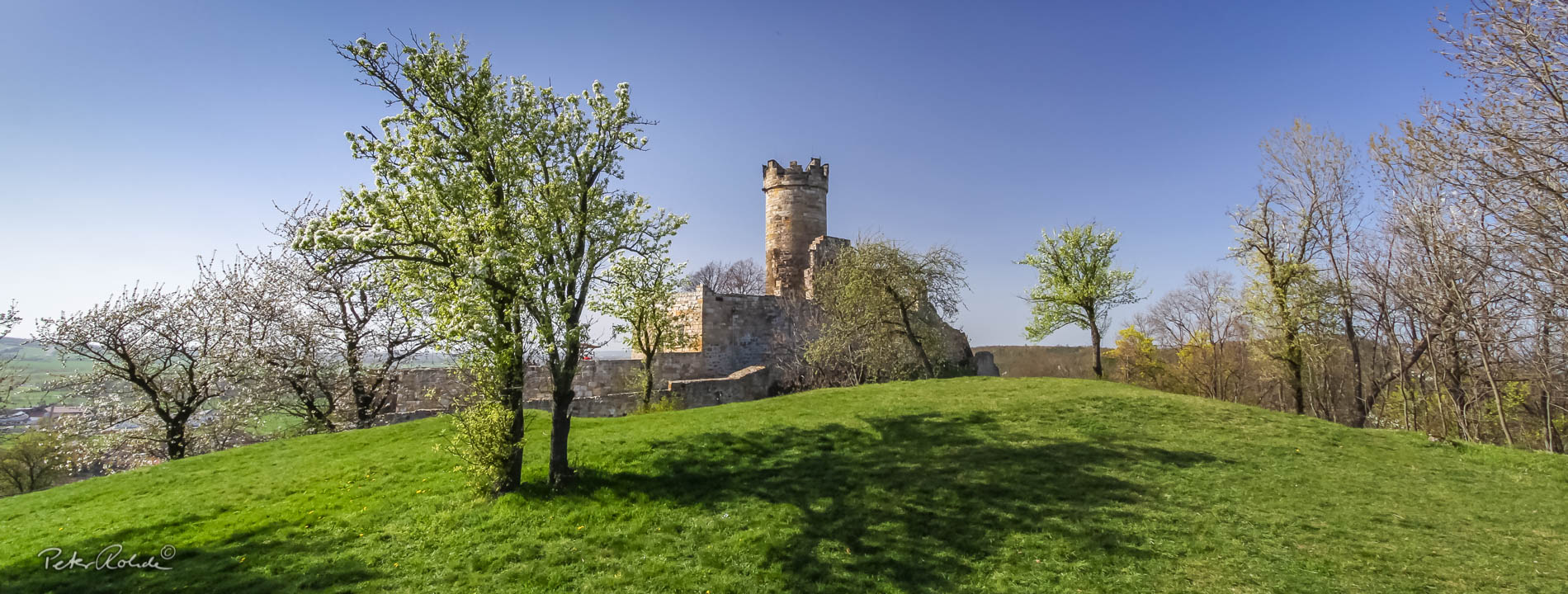
The old quarry at Engestieg is located southwest of the town of Ruhla. It is part of GeoRoute 9 and the Tobacco Pipe Trail. Coordinates: 50° 53′ 11.04" N, 10° 21′ 34.95" E
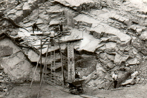
The history of the quarry can be reconstructed from the files in the Ruhla town archive. In February 1907, the Königliche Landesanstalt für Geologie (Royal State Institute for Geology) in Berlin, commissioned by the town of Ruhla, submitted an expert report certifying the rock's suitability, e.g. for road construction. Even then, the Berlin geologists pointed out the high costs involved in working such tough rock. A further report by the Royal Materials Testing Institute (Berlin) in 1910 also attested to the amphibolite's suitability as an aggregate for concrete.
The actual quarry operation was probably started in 1910. Before that, there was a dispute with the forestry administration and the tenants, as the area was contractually designated as clearing land and for the cultivation of potatoes. The dispute was settled by the designation of replacement land.
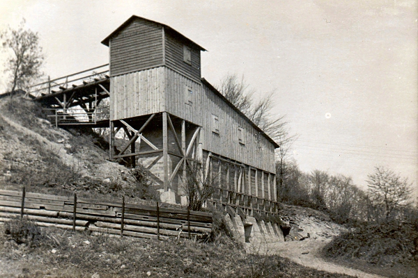
In July 1910, the Mitteldeutsche Beton- und Eisenbeton-Bau G.m.b.H. erected a stone crusher which, after initial difficulties, started operations in the same year. Before that, however, a stronger electric cable had to be laid through Dornsengasse, because the existing line was not designed for the high power.
After the Second World War, operation was resumed by VEB (K) Steinbruch Ruhla (the K stands for "district-managed"). But unexpected additional costs and long downtimes made the operation loss-making. The plant was designed for a much higher production than could actually be sold, and the steep access road made it necessary to build a belt conveyor or chute.
After several years of poor business results, the Erfurt district council recommended in February 1955 that the quarry be closed down and the technology be taken over by VEB (K) Porphyr- und Schotter-Werk Tambach-Dietharz.
The "Iron Cross" pit
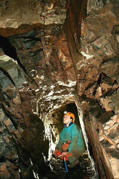
Under the former crusher (now private property) is an approximately 100 m long adit with two crosscuts. The small mine followed a NW-SE striking hydrothermal iron ore vein (quartz-hematite vein), which jumps several times and has a maximum thickness of 40 cm (Fig. 6). This ore vein also strikes out in the quarry.
The mine appears under the name "Iron Cross" in the files of the mining office (today in the Gotha State Archives). The mine is older than the quarry and was operated at least until 1913. Presumably, ore mining served mainly as a sideline during the winter season.
Dark, heavy and tough...
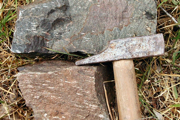
Amphibolites are medium to high grade metamorphic, mostly dark rocks. They consist mostly of minerals of the amphibole group (e.g. hornblende) and additionally contain more than 10 % feldspar (mostly plagioclase) but less than 10 % quartz. Their source rocks are SiO2-poor "basic" volcanic rocks, i.e. andesites and basalts or their deep rock equivalents (diorites and gabbros).
Amphibolites occur in different units of the Ruhla crystalline. However, their volcanic source rocks ("protoliths") were formed at different times and in different plate tectonic situations.
Here in the deeper part of the Gömigenstein Formation, amphibolites form larger lens-shaped bodies in the mica schists, which were the target of hard rock mining in several places. Their geochemical signature suggests basic magmatism in the area of a volcanic island arc fed by the subduction of oceanic crust (Hansch & Zeh 2002). Other amphibolites in the Truse Formation, however, show a chemism typical for basalts at mid-ocean ridges.
