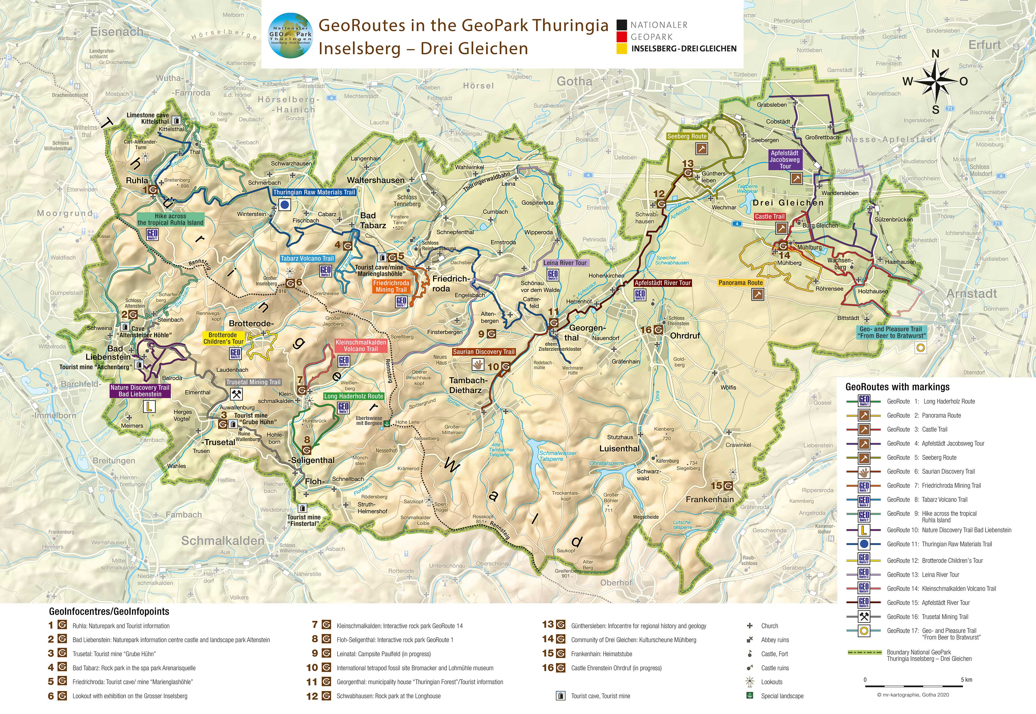
Trusetal Mining Trail
GeoRoute 16
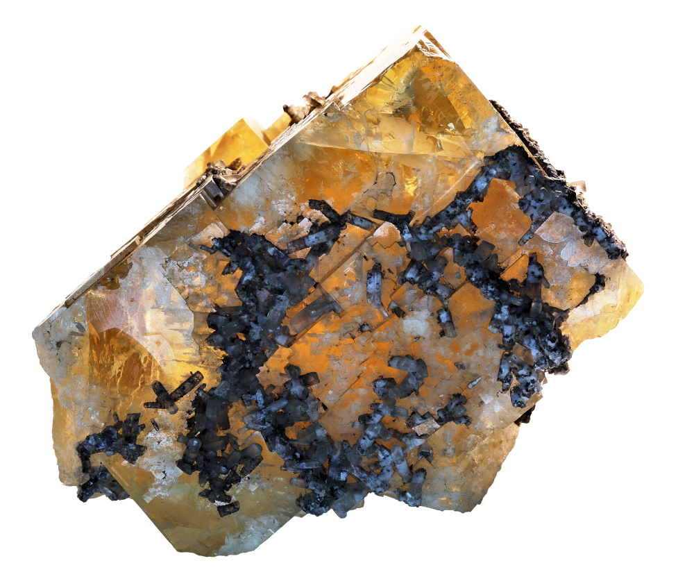
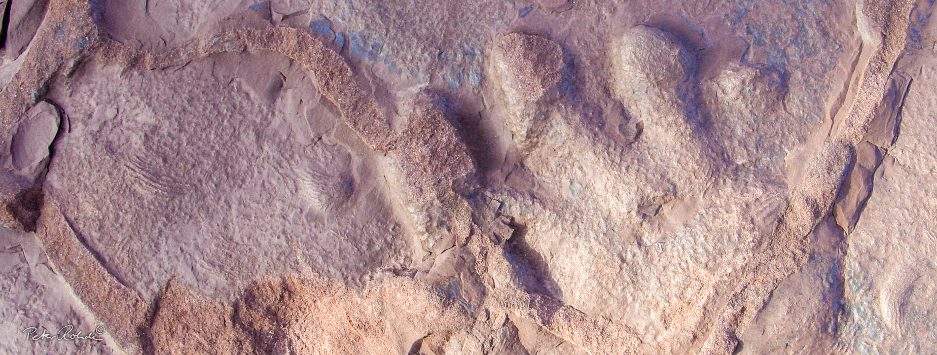
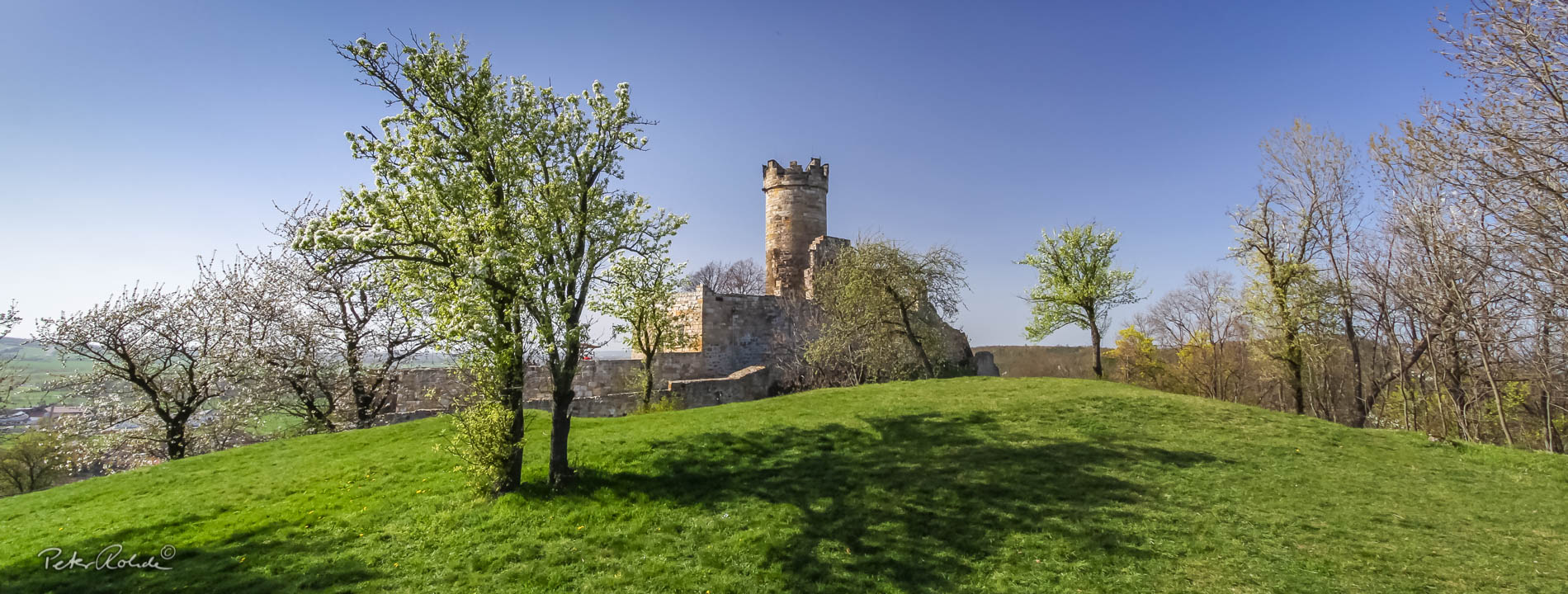
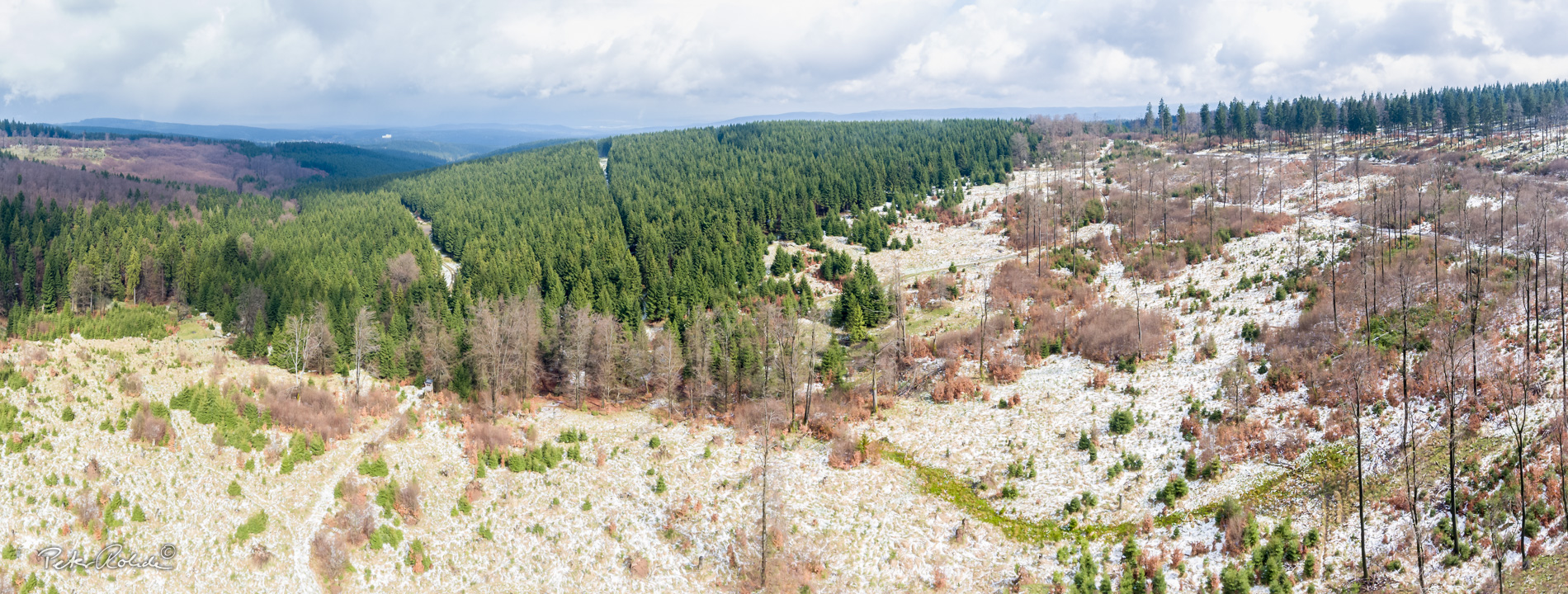
The Trusetal Mining Trail provides an exciting insight into the mining history of the region on the southern edge of the Thuringian Forest, which goes back a long way. Leading from Steinbach via Laudenbach, Trusetal and the Wallenburg Tower to Floh-Seligenthal, you will learn a lot of interesting facts about the mining of the minerals and ores found here, the former mines and opencast mines as well as the processing and use of the raw materials in industry. The highlight of the mining trail is a visit to the "Hühn" visitor mine in Trusetal. Here you can get very close to the mining of fluorspar and barite, which was active until 1991, in the original preserved mine galleries. A ride on the electric mine train is a special experience for young and old. The GeoInfocentre displays historical exhibits from centuries of mining as well as extremely impressive mineral specimens from the Hühnberg and the region. Nature lovers are rewarded on the Trusetal Mining Trail with magnificent views, the Trusetal Waterfall and beautiful forest hiking trails.
- Distance / Category: approx. 22 km, linear walk
- Elevation: approx. 360 – 580 m above sea-level
- Difficulty: moderate – difficult
- Trail characteristics: forest roads, some sandy gravel roads
- Villages along the route: Steinbach, Atterode, Hohe Klinge, Laudenbach, Truseta, Auwallenburg, Atzerode, Floh-Seligenthal
- Information: GeoInfocentre Tourist Mine "Hühn"