


What is a geopark?
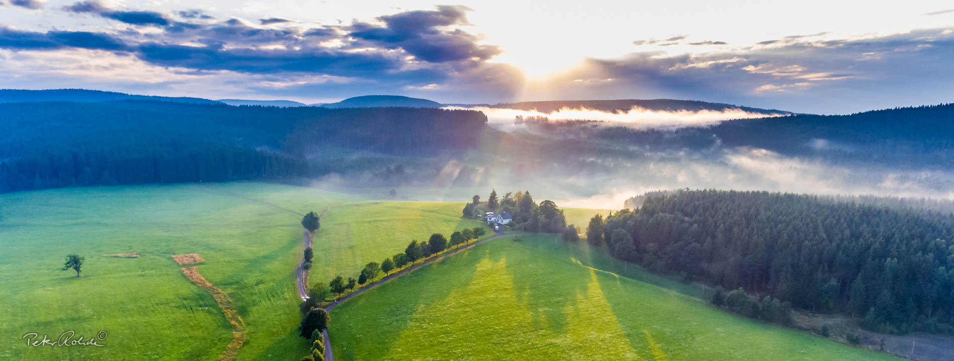
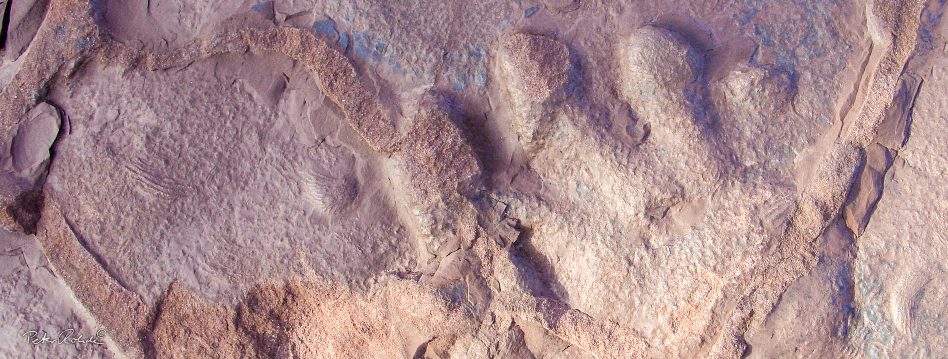
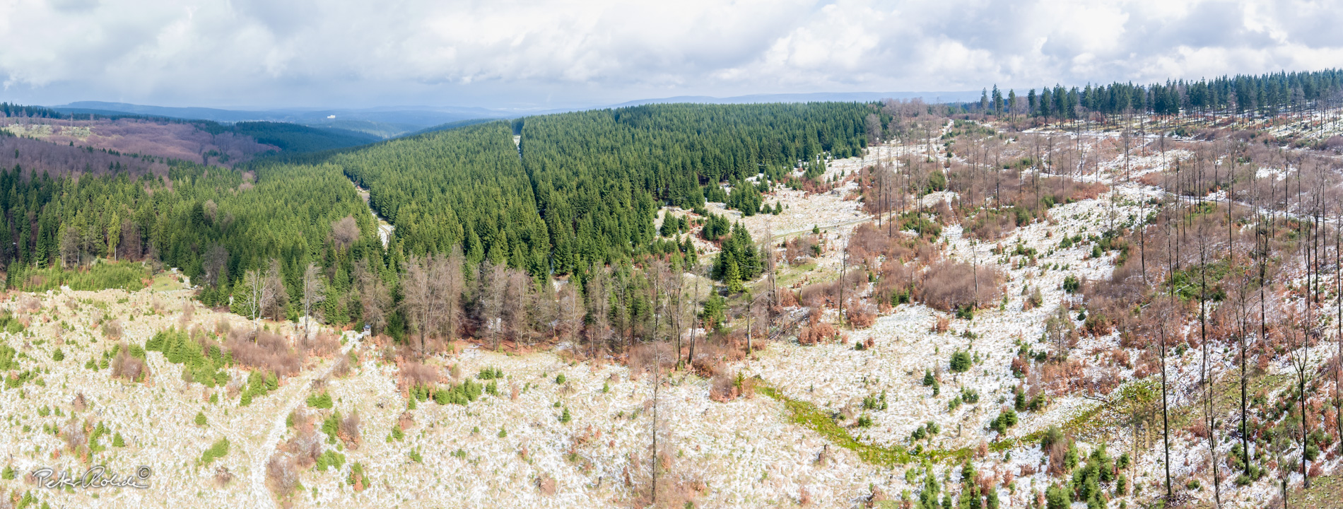
A geopark is an area with a clearly defined boundary that contains geotopes that are outstanding, scientifically significant, rare and beautiful and represent the landscape and its geological development.
A Geopark is, so to speak, a "seal of approval" for a geologically important and interesting area.
Find out more about the history and development of geoparks in Germany and worldwide.
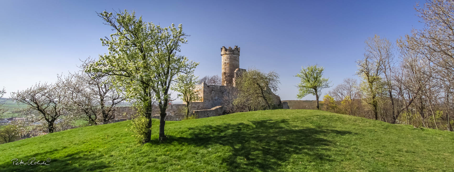
In 2021, the National GeoPark Thuringia Inselsberg - Drei Gleichen was officially recognised by UNESCO and has since been integrated into the worldwide network of UNESCO Global Geoparks.
The exploration, preservation and communication of the internationally significant geological heritage of these areas is a core task of UNESCO Global Geoparks. They holistically combine the natural heritage with the cultural heritage according to the motto: ‘Learning from the past - understanding the present - shaping the future’. They are model regions for sustainable development and are committed to realising the 17 Sustainable Development Goals.
UNESCO-Geoparks
The Global Geopark Network with its more than 200 members is part of UNESCO and is constantly growing.
UNESCO Global Geoparks have existed since 2015 and the six German UNESCO Global Geoparks cover around seven per cent of Germany's land area.
The National Forum of Global Geoparks in Germany was founded in 2012. The forum is tasked with promoting the geopark idea and geosciences, making recommendations for the nomination of new Global Geoparks and supporting them in the development of concepts for sustainable regional development, environmental education and climate protection.
Further information at:
What are UNESCO Geoparks? This YouTube video by the German Commission for UNESCO explains it briefly.

National Geoparks
Currently there are 19 certified National Geoparks in Germany. They are, in addition to the Geopark Thüringia Inselsberg - Drei Gleichen:
- Geopark Bayern-Böhmen
- Geopark Bergstraße-Odenwald
- Geopark Emsland
- Geopark Grenzwelten
- Geopark Harz.Braunschweiger-Land.Ostfalen
- Geopark Kyffhäuser
- Geopark Laacher See
- Geopark Muskauer Faltenbogen
- Geopark Porphyrland.Steinreich in Sachsen
- Geopark Ries
- Geopark Ruhrgebiet
- Geopark Sachsens Mitte
- Geopark Schieferland
- Geopark Schwäbische Alb
- Geopark TERRA.vita
- Geopark Vulkaneifel
- Geopark Vulkanregion Volelsberg
- Geopark Westerwald-Lahn-Taunus
These geoparks are all shown on overview map.
The National Geoparks have joined forces in a working association (Arbeitsgemeinschaft deutscher Geoparks, AdG). Since April 2016, the AdG is legally anchored with rules of procedure within the Section Geotopes and Geoparks of the Deutschen Gesellschaft für Geologie - Geologische Vereinigung (German Geological Society, DGGV e.V.).
For more information about the network and the individual geoparks visit the joint internet portal www.geoparks-in-deutschland.de. Here you can discover the German National Geoparks in an image video on Youtube.
The GeoUnion Alfred-Wegener-Trust is also an excellent source of information about the geoparks in Germany.
